

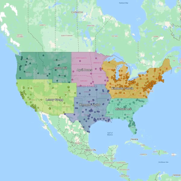
Quick answer
Search for the "best online mapping software" and you'll find plenty of articles ranking dozens of platforms side by side. The problem is that many of those comparisons treat fundamentally different products as though they solve the same business challenge.
A developer building mapping features into an application, a government GIS analyst, and a regional sales manager planning territories all have very different requirements. Comparing incompatible tools on a single feature list rarely helps anyone make the right decision.
The better question isn't Which mapping software is best? It's Which type of mapping software is built for the way your team works?
Some platforms specialize in territory and route management, while others focus on quick spreadsheet-to-map visualization, developer APIs, enterprise GIS, or location intelligence for large-scale analytics. Each category serves a different type of user and solves a different operational problem.
For sales operations and field teams, territory management and route optimization platforms play a central role in planning customer coverage, balancing workloads, and helping representatives spend more time with customers instead of on the road.
This guide takes a workflow-first approach to choosing business mapping software. Instead of ranking unrelated products against one another, we'll look at the five distinct categories based on the operational problems they solve. Along the way, you'll see where each category excels, what tradeoffs to expect, and which types of organizations benefit most from each approach.
If your priorities include territory management, route optimization, and helping sales or field teams make better location-based decisions, you'll also see why eSpatial has become a specialist in that category.
The Problem with Traditional
Mapping Software Comparisons
Most "best mapping software" lists compare products by counting features. A writer builds a spreadsheet of features (pricing tiers, integrations, map styles) and scores each platform against it. Whichever tool checks the most boxes wins, regardless of who's actually going to use it or what they're trying to accomplish. A checklist can't tell you whether a platform fits your workflow. It can only tell you how many features it has.
Imagine comparing a quick spreadsheet-to-map visualization tool with a full enterprise geographic information system (GIS) platform. One helps a sales manager or marketer upload a spreadsheet and visualize customer locations in minutes, while the other gives engineers, utilities, and spatial analysts advanced capabilities for modeling terrain, processing satellite imagery, or managing coordinate systems. Both involve maps, but they're built to solve fundamentally different problems.
The same is true when comparing developer APIs with territory management software. Engineering teams need flexible building blocks to create custom mapping applications, whereas sales operations teams need ready-to-use tools that can balance territories, optimize routes, and integrate with systems like Salesforce. Judging both against the same checklist rarely leads to a meaningful buying decision.
Choosing the wrong category can have real operational consequences. A platform that's too simple may lack the automation and integrations needed to support a growing sales team, while one that's too complex can burden users with features they neither need nor have the expertise to use. The most effective way to evaluate online mapping software is to first identify the workflow you're trying to improve, then compare the platforms built specifically for that job.
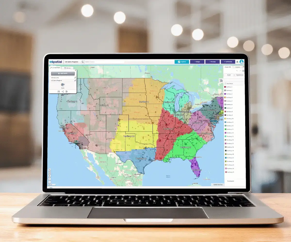
Five Buyer Workflows That Define the Market
Territory & Route Management
Business mapping software for sales territory management and route optimization helps organizations assign people to geographic areas, balance workloads, and plan more efficient customer coverage. Typical users include regional sales directors, field service managers and operations teams responsible for assigning territories, balancing workloads, and reducing travel time.
Unlike general mapping tools, these platforms combine geographic intelligence with critical business data to optimize how territories are structured and managed. They can automatically balance territories using factors such as account value, drive time, customer density, or representative workload, while route optimization helps field teams plan more efficient customer visit schedules.
Solutions in this category typically include CRM integration, automated territory creation, drive-time analysis, route planning, and reporting tools that support ongoing territory adjustments as business needs change.
eSpatial has built its platform specifically for this workflow, with Salesforce integration at the core rather than added on afterward. For organizations that already run sales and field operations through Salesforce, that native connection means territory management works directly with the CRM data teams rely on day to day. Other platforms in this category include Maptive, Mapline, and Map Business Online.
Quick Spreadsheet-to-Map Visualization
Sometimes the goal isn't territory optimization or advanced analytics. It's simply getting a spreadsheet of locations onto a map as quickly as possible. Spreadsheet-to-map visualization tools are designed for users who need fast results with minimal setup, whether they're plotting customers, events, stores, or delivery locations.
Most platforms allow users to upload a spreadsheet containing addresses, ZIP codes, or geographic coordinates and automatically generate an interactive map in under 10 minutes. This makes them popular with marketing teams, small businesses, educators, and anyone who needs a visual overview of location data without specialized training.
The appeal is accessibility rather than depth: there's no onboarding process, no need to understand spatial data formats, and no dedicated admin required to keep the map current.
Tools such as BatchGeo, EasyMapMaker, and Atlist prioritize speed and ease of use over advanced operational capabilities. Most offer simple filtering, color coding, pin clustering, and map sharing, with pricing ranging from free plans (with limits) to approximately $99 per month.
The tradeoff is that these platforms generally don't provide territory automation, route optimization, or sophisticated spatial analysis. They're built for visualization, not operational decision-making, so a static customer map is where the workflow ends rather than the starting point for planning or reporting.
Developer APIs and SDKs
Developer APIs and software development kits (SDKs) serve a completely different audience from business mapping platforms. Rather than providing finished applications, they give engineering teams the building blocks needed to create custom mapping functionality within their own software products.
Platforms such as Mapbox, Google Maps Platform, and the open-source Leaflet library allow developers to build highly customized maps, routing features, geocoding services, and location-aware applications.
The core value here is total control: developers aren't limited to a vendor's design decisions or default workflows, and can customize every layer of the mapping experience to fit their product. This approach offers almost unlimited flexibility but also requires software development expertise and ongoing maintenance.
These solutions are ideal for organizations creating customer-facing applications or products with embedded mapping capabilities. They aren't intended for sales operations teams looking to assign territories or optimize daily routes through a point-and-click interface.
In short, developer APIs provide mapping infrastructure rather than business mapping software. If your goal is to build mapping functionality into an application, they're the right choice. If your goal is to improve operational workflows, a dedicated business mapping platform is usually a better fit.
Enterprise GIS & Full-Scale Spatial Analysis
GIS platforms are built for organizations that perform complex spatial analysis across large, highly detailed datasets. Government agencies, utilities, engineering firms, environmental organizations, and scientific researchers often rely on these platforms to support planning, infrastructure management, and regulatory work.
Unlike business mapping software, enterprise GIS platforms focus on advanced analytical capabilities rather than operational workflows. Users can work with multiple coordinate systems, raster and vector data, satellite imagery, terrain models, and sophisticated spatial analysis tools that support technical and scientific decision-making.
These platforms are also built to handle large, multi-layered datasets over time, which matters for use cases like tracking land use changes, modeling flood risk, or maintaining utility infrastructure records across decades. Leading platforms include ArcGIS and QGIS. While exceptionally powerful, they typically require specialist knowledge and formal training, with learning curves measured in weeks or even months rather than hours.
For organizations that need rigorous spatial analysis, enterprise GIS is the industry standard. For most sales, marketing, or operations teams, however, these capabilities are far more advanced than everyday business requirements demand.
Location Intelligence & Spatial Data Science
Location intelligence platforms extend spatial analysis into the world of cloud-scale data science. They're designed for organizations that already manage large datasets in platforms such as BigQuery, Snowflake, or Databricks, and want to incorporate geographic analysis into broader business intelligence workflows.
Rather than creating territories or plotting customer locations, these platforms allow analysts to perform SQL-based spatial queries across millions of records. They can identify geographic trends, model customer behavior, analyze market coverage, and combine location data with other enterprise datasets to support strategic decision-making. This makes them well suited to use cases like identifying underperforming markets, forecasting demand by region, or blending location data with sales and marketing datasets already sitting in the warehouse.
Platforms such as CARTO and Felt are aimed primarily at data science and analytics teams with established cloud data infrastructure. As a result, they generally require technical expertise and are less suitable for organizations looking for an out-of-the-box mapping solution.
If your organization already operates a modern data warehouse and needs advanced spatial analytics, this category offers significant flexibility. If your priority is improving sales territories or field operations, however, a dedicated territory management platform will typically deliver faster business value.
eSpatial: The Specialist in
Territory & Route Optimization
What eSpatial Does Best
eSpatial is built for organizations that manage sales territories, field teams, and customer accounts at scale. Its core strength lies in helping businesses analyze, design, balance, and optimize territories using business mapping. It gives sales and operations teams a clearer view of customer coverage and workload before changes are rolled out.
A typical example is a regional sales director responsible for six representatives managing a $100 million portfolio of customer accounts. Instead of manually dividing territories by ZIP code or region, eSpatial pulls account and representative data from spreadsheets or other business systems and generates optimized account-to-representative assignments using factors such as
- Account value
- Customer density
- Drive time
- Representative workload
Teams using the optional Salesforce integration can work directly with live CRM data, eliminating the need for manual imports and exports. The platform also supports multi-stop route optimization, enabling field teams to plan more efficient daily schedules once territories have been established. Together, the 3 step workflow:
- Analyze complex datasets
- Optimize and Balance Territories
- Optimize route schedules help sales and operations teams spend less time managing logistics and more time engaging with customers
Why Salesforce Integration Matters
For organizations that manage customer data in Salesforce, the quality of a mapping platform's CRM integration can have a significant impact on day-to-day operations. With the optional Salesforce connector, eSpatial synchronizes directly with Salesforce, keeping territory maps updated with account changes in under 90 seconds and reducing the need for manual data imports and refreshes.
This is significant because territories built from live CRM data reflect what's actually happening in the business. New accounts, ownership changes, and updated account values flow through automatically, helping sales operations teams work from current information rather than outdated snapshots.
Teams that don't require Salesforce integration can instead import customer and account data from spreadsheets or other business systems to build and optimize territories. eSpatial is unique in offering both options to teams. Other approaches to CRM connectivity take different paths. Some platforms rely on periodic imports or API-based integrations that require additional configuration and may not update as quickly.
Others depend on manual export-import-refresh workflows, where data must be exported from the CRM, reformatted, and uploaded each time territories change. These extra steps increase administrative effort and create more opportunities for data to become outdated. For organizations using Salesforce as their system of record, a live CRM connection can help keep territory assignments aligned with changing customer data while reducing manual administration.
Key Features
eSpatial combines mapping, territory management, and route optimization across three tiered plans, letting organizations choose the level of capability that matches their operations.
Key Features Include
- Design and optimize Geographic, Account-based or hybrid territories. Optimization using road network data, to create more practical sales territories based on actual driving routes and road conditions rather than straight-line distance between points
- Multi-metric territory balancing based on factors such as drive time, account value, customer density, and representative workload, so territories reflect real business priorities rather than a single variable like geography alone
- Multi-stop route optimization included, helping field teams reduce travel time and improve daily scheduling
- Tiered plans from Mapping Pro through Advanced Territory Manager, with optional add-ons including Salesforce integration, single sign-on, and additional boundary datasets, so organizations can scale capability as territory or routing needs grow
- World-class security including ISO 27001
Together, these capabilities support more informed territory planning while helping field teams operate more efficiently, paying for deeper functionality only as it becomes necessary.
Pricing & Who Uses It
eSpatial uses a tiered pricing model, with three plans covering different levels of mapping, territory and routing capability:
Mapping Pro
Turn raw spreadsheet data into an interactive visual intelligence layer, delivering immediate answers to high-stakes geographic questions.
$499 per user per year Talk to Sales €475 per user per year (€584.25 Inc VAT) Talk to Sales £435 per user per year Talk to Sales
Minimum 3 users
Every map you’ll ever need
for more confident decisions
- Instant Data MappingMap your data in seconds from Excel, Salesforce, and more with heat mapping and pin maps.
- Advanced Gaps & HotspotsIdentify key revenue opportunities, market trends, and hidden business gaps with visual spatial intelligence.
- Risk & Decision AnalysisEvaluate sales performance and risks across territories and regions for smarter, data-driven decisions.
- Boardroom-Ready ReportsPresent compelling spatial insights to leadership and teams with high-impact visuals and easy sharing.
- Country DatasetsUS, Canada, and UK boundary datasets included.
Professional Territory Manager
Replace manual, error-prone spreadsheets with a streamlined territory design and management platform.
$2,665 per user per year Talk to Sales €2,535 per user per year (€3,118.05 Inc VAT) Talk to Sales £2,319 per user per year Talk to Sales
Minimum 3 users
Everything in
Mapping Pro Plus:
- AI Map Assist will be available from September 1
- Territory Design & OptimizationCreate, realign, merge, and close territories with ease.
- Rep-Specific AssignmentMove accounts instantly and lock priority clients to specific reps.
- Route OptimizationReduce travel times and fuel expenses by aligning field teams to the closest, most logical territories.
- Territory Balance DashboardSpot overlaps and identify inefficient zones to manually rebalance workloads.
Advanced Territory Manager
Drive daily operations with continuous, automated territory optimization and predictive modeling.
$4,999 per user per year Talk to Sales €4,749 per user per year (€5,841.27 Inc VAT) Talk to Sales £4,349 per user per year Talk to Sales
Minimum 3 users
Everything in Professional
Territory Manager Plus:
- Automated Territory OptimizationAutomatically balance territories based on live sales or business data, complex workload constraints, and changing revenue potential.
- Predictive "What-If" Scenario ModelingSafely model and compare complex organizational shifts or market expansions side-by-side before disrupting live operations.
- Build Scale & HierarchiesManage up to 6 levels of sales organization hierarchy with full data synchronization to ensure a single, consistent source of truth across global or national teams.
- Predictive Performance InsightsModel complex organizational changes to drive a revenue lift through perfect market coverage.
Salesforce integration is available as an add-on across plans, starting at $5,995 per year, alongside other add-ons such as single sign-on and additional boundary datasets. Costs scale with team size and the modules selected, so total pricing depends on which tier and add-ons a team needs.
The platform is used by sales operations teams, field service organizations, and businesses that manage geographically distributed customer accounts. Organizations already using Salesforce are particularly well positioned to benefit from eSpatial's integrated territory planning workflows, once Salesforce integration is added to their plan.
G2/Capterra Data & Third-Party Proof
Independent review platforms back up eSpatial's positioning in the territory management space. On G2, eSpatial holds a 4.3 out of 5 rating across 38 verified reviews, while Capterra users rate the platform 4.8 out of 5 across 53 reviews.
Common themes across both platforms include ease of use, responsive customer support, and straightforward data integration, with several reviewers specifically highlighting how quickly they were able to get territories and routes set up without a steep learning curve.
Older outdated reviews note occasional performance slowdowns during heavy use, but these issues have been fully resolved in new releases. For teams evaluating third-party proof rather than vendor claims alone, these independent ratings offer a consistent picture: a platform that's easy to adopt and well-supported, even as more advanced features carry some learning investment.
How eSpatial Compares to
Competitors in the Same Category
|
Criteria |
eSpatial |
Maptive |
Mapline |
Map Business Online |
Maptitude |
|---|---|---|---|---|---|
|
Primary focus |
Salesforce territory management, sales operations, and route optimization |
Business mapping, territory management, and route planning |
Business mapping and territory management |
Business mapping, territory planning, and demographic analysis |
Advanced mapping, territory management, routing, and GIS |
|
Salesforce connectivity |
Salesforce integration available as a paid add-on |
CRM integration available |
Salesforce connector available |
Import/export workflow |
Third-party or custom integration |
|
Territory management |
Automated territory balancing using multiple business metrics |
Territory optimization and sales territory mapping |
Territory creation and management |
Territory creation and balancing |
Advanced territory design and optimization |
|
Route optimization |
Multi-stop routing |
Multi-stop route optimization |
Route planning |
Route planning |
Built-in routing and optimization |
|
Pricing (2026) |
$1,495 – $14,995/ year (includes 3 users) |
$250 (45 days) – $2,500/year |
Contact vendor |
$500 — $900/year |
$795 – $1,595/year |
|
G2 rating |
4.3/5 (38 reviews) |
4.7/5 (35 reviews) |
4.7/5 (3 reviews) |
4.5/5 (50 reviews) |
4.7/5 (148 reviews) |
|
Quality of support (G2) |
9.0/10 |
9.7/10 |
Not publicly rated |
8.8/10 |
9.2/10 |
eSpatial vs. Maptive
eSpatial Advantage eSpatial's strength lies in its native Salesforce integration and workflows designed specifically for sales territory management and route optimization. It keeps territory planning closely aligned with live CRM data.
Maptive Advantage Maptive offers a broad business mapping platform with flexible CRM connectivity and support for multiple data sources. It has a low entry price and its wide feature set makes it suitable for a variety of mapping use cases.
Which Should You Choose? Choose eSpatial if territory optimization and live CRM synchronization are priorities, especially if you're already using Salesforce. Choose Maptive if you need a flexible business mapping platform for a wider range of mapping tasks.
eSpatial vs. Mapline
eSpatial Advantage eSpatial focuses on territory optimization, combining CRM integration (including an optional Salesforce connector) with advanced territory balancing and route optimization for sales and field operations.
Mapline Advantage Mapline provides straightforward business mapping, territory management, and route planning through an intuitive interface, with Salesforce connectivity available via its Salesforce Connector.
Which Should You Choose? Choose eSpatial if you need advanced territory management with workload and 6 level hierarchies. Choose Mapline if you want an easy-to-use mapping platform with core territory planning capabilities.
eSpatial vs. Map Business Online
eSpatial AdvantageeSpatial is purpose-built for territory management, helping sales and field teams plan territories and routes using live CRM data.
Map Business Online AdvantageMap Business Online combines business mapping with built-in U.S. demographic datasets, making it well suited to market analysis, customer profiling, and territory planning.
Which Should You Choose?Choose eSpatial if territory optimization and CRM connectivity are central to your sales operations. Choose Map Business Online if you need business mapping with integrated U.S. demographic data.

Six Evaluation Criteria For
Sales Operations Teams
Territory Automation Accuracy
Territory automation should account for more than one variable at a time, since real-world territory planning rarely comes down to a single factor like geography alone.
What To Look For
- Balancing by drive time, account value, sales potential, rep capacity, or a combination of all three
- Mid-month rebalancing when new accounts arrive, without a full manual rebuild
- The ability to override a single suggestion without disrupting the rest of the structure
Why It Matters
Poorly balanced territories directly affect quota attainment. Reps end up with uneven coverage, workload, or account value, which shows up in performance long before anyone traces it back to the mapping tool.
Data Capacity
Every platform has a performance ceiling worth finding before committing to one, ideally during a trial rather than after go-live.
What To Look For
- The number of accounts the platform can handle before performance visibly degrades
- How many territories and reps it supports at that same scale
- Response times when filtering, grouping, or searching within a larger dataset
Why It Matters
A platform that runs smoothly with 10,000 accounts can behave very differently at 50,000. Outgrowing those limits within a year often means an expensive, disruptive migration to a new system.
Ease of Adoption for Non-Analysts
Most sales operations teams don't have a dedicated GIS analyst on staff, so the platform needs to work for the people actually using it day to day.
What To Look For
- Whether a sales ops person can produce usable territories in a single afternoon
- The amount of formal training required before someone can work independently
- Whether the interface feels intuitive or like a maze of menus and unclear terminology
Why It Matters
If adoption requires weeks of training, the team won't use the platform consistently, no matter how capable it looks on paper.
Scalability
A platform that fits a five-person team today needs to be evaluated against where that team is realistically headed, not just where it stands now.
What To Look For
- Smooth scaling if headcount grows, for example from 20 to 200 reps within 18 months
- The pricing trajectory as users, territories, or data volume increase
- Whether continued growth would eventually require migrating to a more capable platform
Why It Matters
Switching platforms mid-operation is costly and disruptive, involving data migration, retraining, and a stretch of reduced productivity while the team adjusts to something new.
Support Responsiveness & CRM Expertise
Support quality varies significantly across platforms, and Salesforce-specific expertise is worth testing directly rather than assuming it exists.
What To Look For
- Support staff who understand your workflows, how to deal with custom objects, and object structures
- How support is delivered: Face-to-face, email-only, live chat, or phone, and typical resolution times
- Whether that access is available on every pricing tier or reserved for premium plans
Why It Matters
When something breaks mid-quarter, vendor expertise can save weeks of troubleshooting and lost productivity. A support team that has to learn your CRM setup on the fly costs you time you don't have.
Salesforce Sync Speed & Depth
Not all Salesforce integrations behave the same way, and the difference often only becomes obvious once a team is already relying on the data.
What To Look For
- How fresh the map data is: real-time, hourly, or batch
- The lag time between a change in Salesforce and that change appearing on the map
- Whether the tool can read custom Salesforce fields, (objects) not just standard ones like account name or owner
Why It Matters
For teams where account data changes daily, stale maps create more problems than they solve, since reps end up working from outdated territory or account information without realizing it.
Frequently Asked Questions
Not necessarily as they're designed for different workflows. ArcGIS is an enterprise GIS platform built for advanced spatial analysis, engineering, environmental planning, and scientific applications. eSpatial is business mapping software focused on sales territory management, route optimization, and CRM-driven workflows for sales and field teams. If your goal is to balance sales territories, optimize field operations, and work from live CRM data, eSpatial is likely the better fit. If you need sophisticated GIS analysis, ArcGIS is the more appropriate choice.
Yes. While eSpatial is often used by regional sales operations and field service organizations, it can also be a good fit for smaller teams that want to improve territory planning and customer coverage. It’s quick to set up, easy to use, and doesn’t require heavy IT support, so small teams can start mapping and optimizing territories in minutes rather than weeks. A 7-day free trial is available, so teams can test territory and mapping features before committing.
In short, a lot! The amount of data eSpatial can handle depends on your subscription, deployment, and workflow. You can explore the limits here. Rather than focusing on a single record limit, it's more useful to evaluate how well the platform performs with your own sales territories, customer accounts, and routing requirements. If you're working with particularly large datasets, it's worth discussing your expected data volumes and performance needs with the eSpatial team before making a purchasing decision.
Free mapping tools are a great option if you simply need to upload a spreadsheet and visualize locations on a map. They're ideal for basic map creation, presentations, or one-off projects. However, they typically don't include capabilities such as Salesforce integration, automated territory balancing, route optimization, or advanced sales operations workflows. If your business relies on location data to manage customers, territories, or field teams, investing in a dedicated business mapping platform will generally provide greater long-term value.