
- Choose the right locations: Using demographic, patient, and competitor data, identify optimal sites for facilities and personnel
- Improve productivity: Boost efficiency for field teams, streamline hiring with location insights, and reduce transport and distribution costs
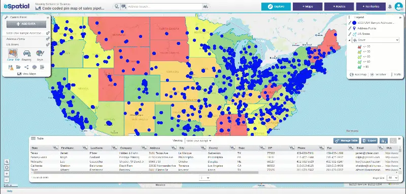
- Analyze patient data: Visualize and understand patient concentrations and demographics to deliver better, data-driven healthcare services
Our Customers Love Mapping With eSpatial
How eSpatial Helps Healthcare Providers
eSpatial helps healthcare providers turn complex data into clear, interactive maps that enable smarter job allocation, intuitive territory management, route optimization, and more.


Visualize Your Customer, Patient, or Demographic Data With Interactive Maps
Healthcare providers or suppliers can easily share interactive maps publicly or privately. Click the links below to see interactive map examples:
- Staff
- Patients
- Key assets
- Hospitals or facilities
- Office locations
- Service centers

Maps That Make Job Allocation Super Easy
Making smart job allocation decisions is challenging when speed, skillsets, and geography all matter.
- Make the right decisions when allocating jobs fast
- Allocate to the right person with the right skillset
- Visualize your key locations
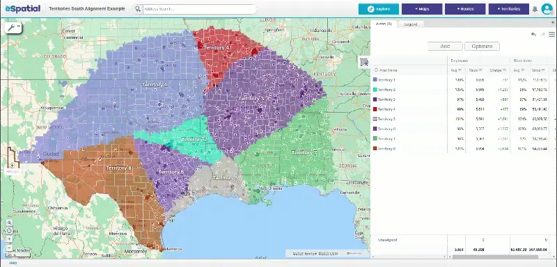

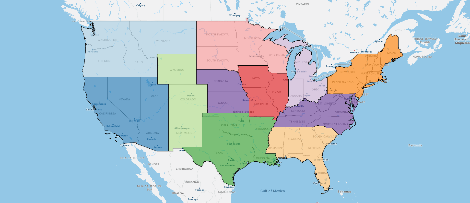
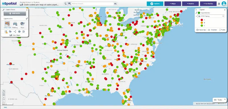
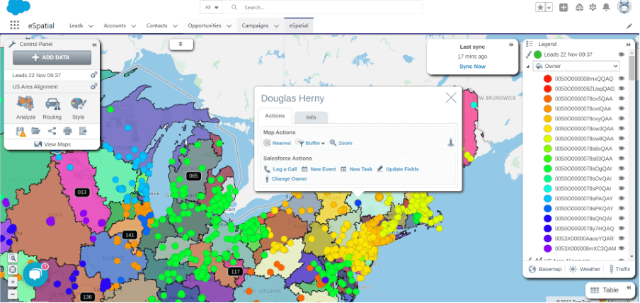
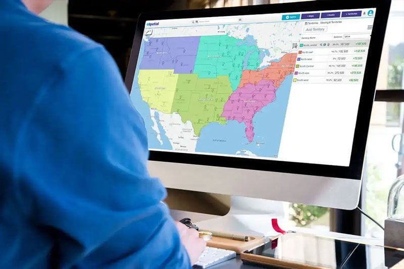
Keep Territories Fair and Flexible
Managing healthcare territories efficiently is challenging, especially when balancing service demand, team capacity, and geographic coverage.
- Boost sales or service team productivity
- Optimize service areas size to maximize customer service
- Share and collaborate with ease
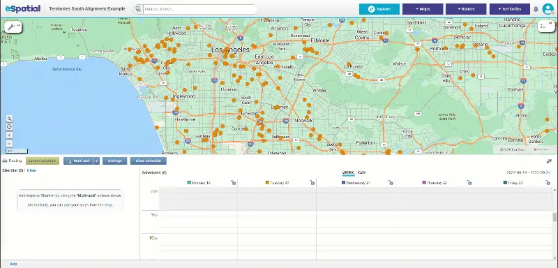

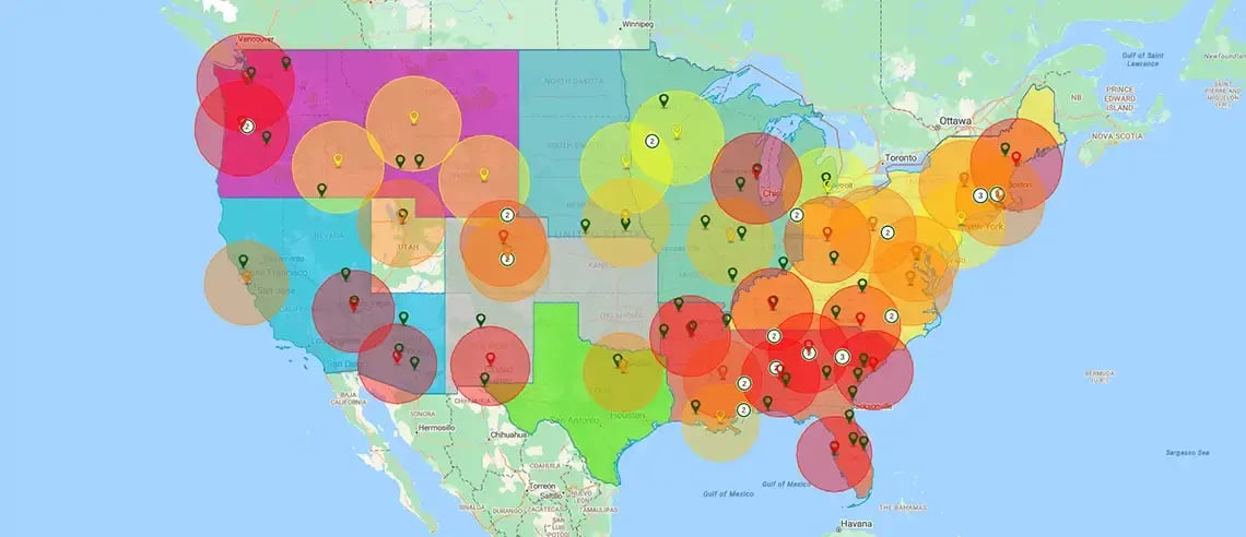
Boost Field Team Efficiency Without Micromanaging
Coordinating field teams in healthcare can be time-consuming and inefficient, especially without real-time visibility or over-relying on micromanagement.
- Optimize routes
- Maximize daily visits or stops
- Plan up to 20 day schedules in minutes

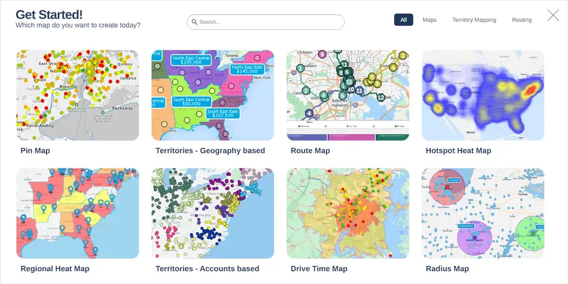
Turn Complex Data Into Clear, Actionable Maps
Critical decision-making is slowed when healthcare organizations struggle to make sense of complex data spread across patients, teams, and locations.
- Map demographic data
- Analyze patient, office, or remote team locations easily
- Optimize site location processes
Platform Highlights To
Support Healthcare Needs
eSpatial is built to meet the unique demands of healthcare. It’s secure, easy to use, and seamlessly integrates with your existing systems. The use of GIS mapping software for healthcare lets users visualize, analyze, and interpret health-related data in relation to geographic locations.

Seamless Integration
Integrating mapping with healthcare data offers insights into health trends and location-based risk factors. This enables healthcare leaders to make informed decisions that are supported by detailed data analysis provided by our healthcare mapping software.
Scalable & Secure Architecture
If you need to handle large quantities of patient records, facility locations, or health outcomes data, eSpatial healthcare mapping software delivers high performance and enterprise-grade security. Its flexible architecture supports your organization's growing teams across clinical, administrative, and research departments. It caters to diverse healthcare mapping needs from patient catchment analysis to provider network optimization.
Intuitive Interface
You don't need technical expertise to use our powerful mapping software. Designed with usability in mind, eSpatial's healthcare data mapping interface gets you started quickly with a platform accessible to all expertise levels. Intuitive features mean less training time and more focus on improving patient care and operational efficiency.


