
- Optimize supply chain and manufacturing logistics by reducing transport costs, selecting ideal hub locations, and coordinating complex routes with smart supply chain mapping tools
- Enhance customer and distributor proximity for faster delivery times and more frequent, targeted visits
- Make smarter location decisions for manufacturing plants and transport hubs to improve efficiency and service coverage
Our Customers Love Mapping With eSpatial
For Manufacturers Who Want to


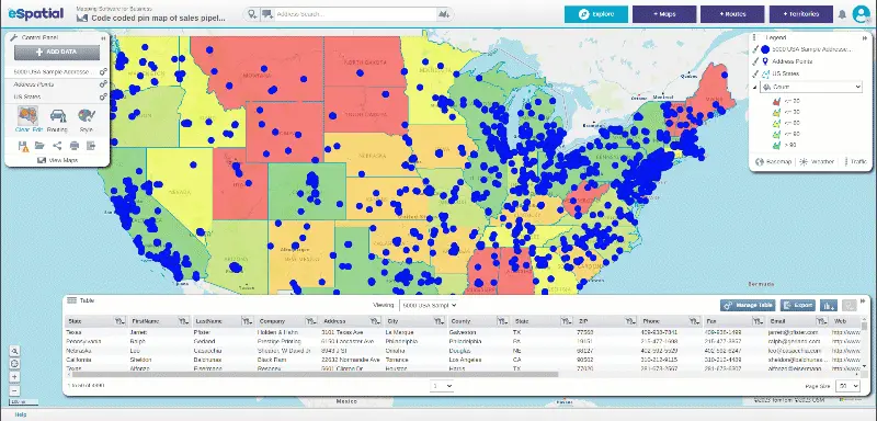
Visualize Your Data With Interactive Maps
Manufacturers, wholesalers, and distributors can easily share interactive maps publicly or privately. Click the links below to see interactive map examples:
- Staff
- Customers
- Key assets
- Hospitals
- Office locations
- Distribution centers

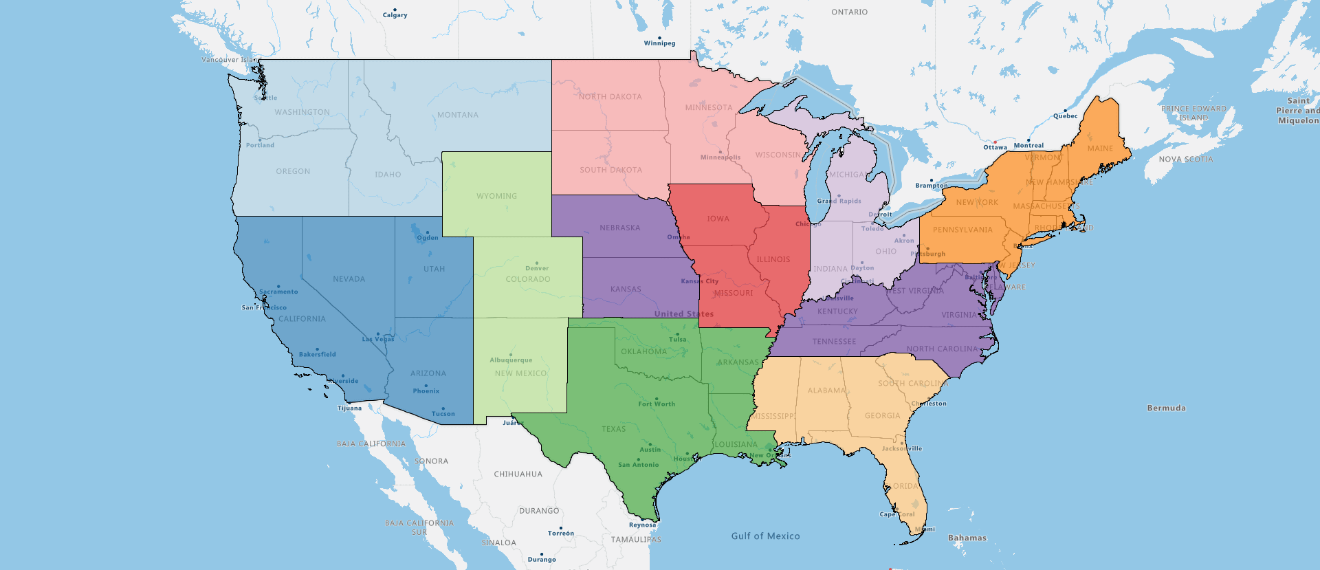
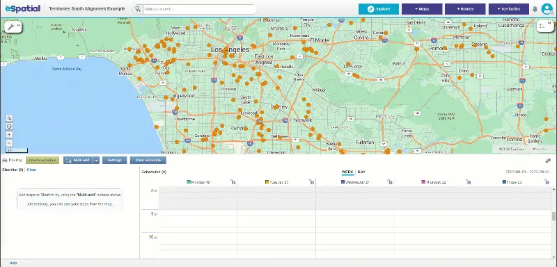
Allocate Field Teams by Plant or Region
Visualizing field team coverage, balancing workloads, and making adjustments in real time as market demands or plant operations change can be challenging. eSpatial helps you:
- Make the right decisions when allocating jobs fast
- Allocate to the right person with the right skillset
- Design, realign, and optimize territories
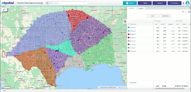

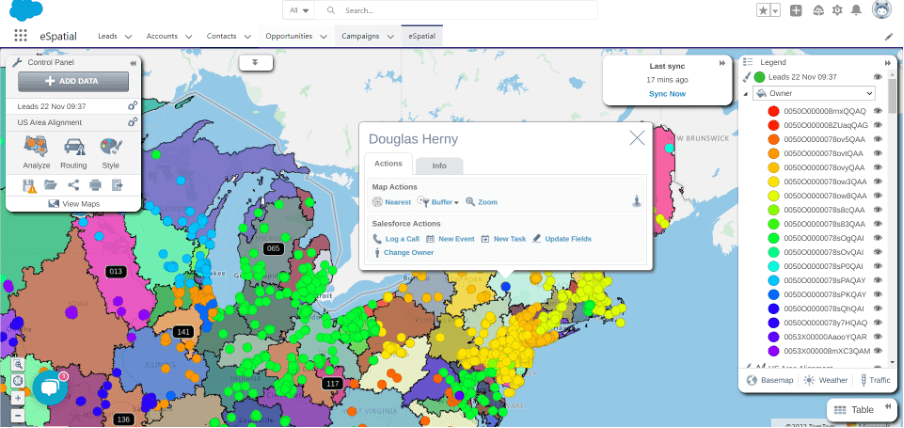
Adapt Territories as Your Footprint Grows
As manufacturers grow and expand into new regions, managing sales territories becomes increasingly complex. It can lead to overlaps and inefficiencies and missed opportunities to grow your business. You’ll need to adapt your territory management accordingly:
- Optimize sales territories using a workload index
- Tweak, fine-tune, and move customers quickly
- Share and collaborate with key stakeholders

Assign Field Sales and Service Leads Instantly
Manual processes and a lack of visibility create significant lead assignment inefficiencies. Unbalanced territories cause slower customer response times and lost sales. eSpatial territory mapping software ensures that you can:
- Allocate jobs easily
- Manage delivery routes fast
- Assign service and sales enquiries on shared maps
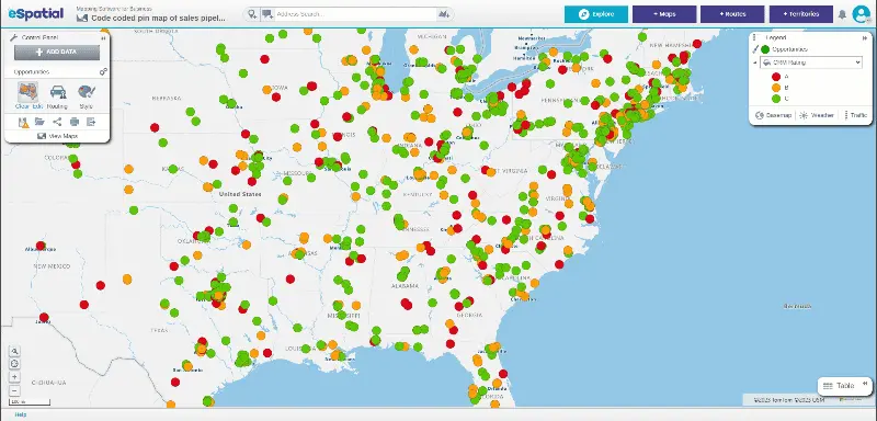

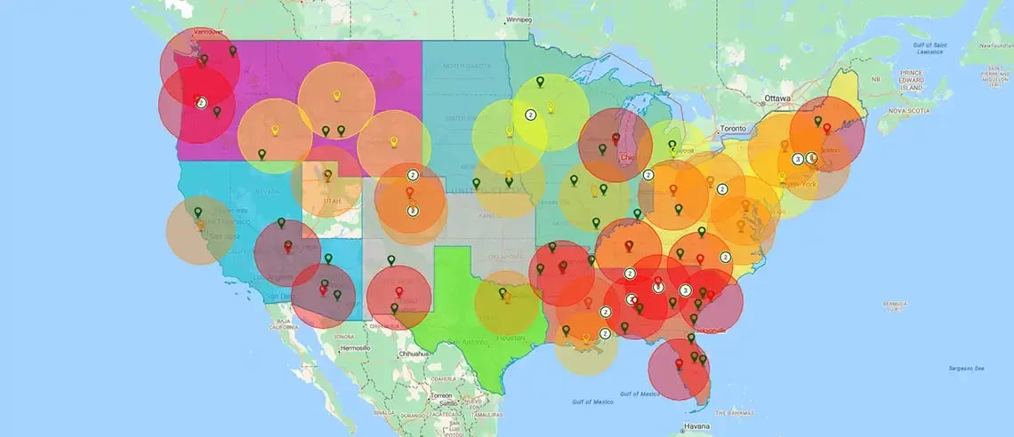
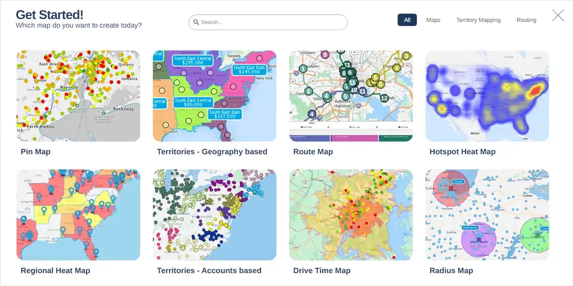
Spot Gaps and Growth Opportunities With Maps
Are you having trouble identifying patterns or monitoring performance? Are you missing hidden opportunities? Ditch the guesswork and spreadsheets with these interactive maps available in our manufacturing mapping software:
- Hotspot heatmap
- Regional heatmap
- Color-coded map
Platform Highlights To
Support Manufacturing Needs
eSpatial’s supply chain mapping software is built for performance, flexibility, and user empowerment. In the office or on the go, you can access your maps, build insights, and share decisions quickly. Whether using mapping software online or offline, custom styling, mobile optimization, and dynamic selection tools ensure every user gets what they need from the platform.

Seamless Integration
eSpatial manufacturing mapping software integrates with your preferred tools to optimize workflows. You can easily import data from Excel, Salesforce, or cloud systems. Get quick automatic updates that keep your map synchronized with source data.
Scalable & Secure Architecture
Whether you manage thousands or millions of records, eSpatial manufacturing mapping software provides exceptional performance and dependability. Its adaptable architecture accommodates your organization's expanding teams and multiple departments while addressing varied mapping requirements.

Intuitive Interface
You don't need technical expertise to make the most of our powerful mapping software. Built for usability, eSpatial's supply chain mapping interface enables immediate productivity with a platform suitable for all skill levels. Intuitive functionality reduces training time while giving you more time to improve your operations.


