
With interactive, customizable maps, you can display and analyze information like population trends, income levels, zoning regulations, and competitor locations. It’s a fully integrated platform for mapping, planning, and streamlining construction operations.
Our Customers Love Mapping With eSpatial
Built for Construction's Real-world Challenges
The construction industry faces a host of industry-inherent challenges—cost overruns, project delays, labor shortages, and difficulty in identifying optimal project locations. Fragmented data, shifting market demands, and fluctuating material costs make long-term planning and investment decisions even harder. eSpatial helps construction firms overcome these challenges through powerful, real-world mapping capabilities.
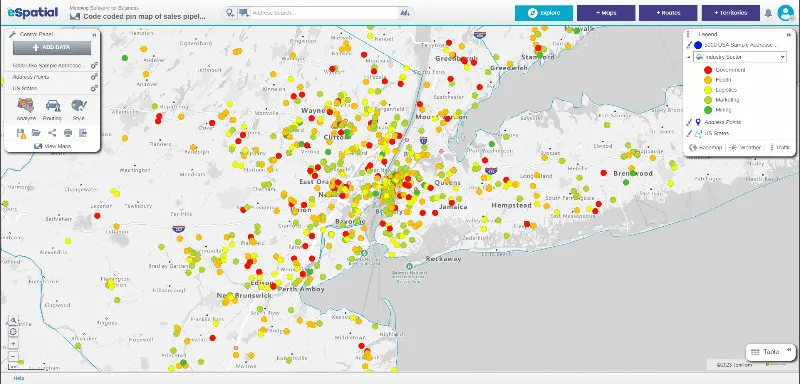
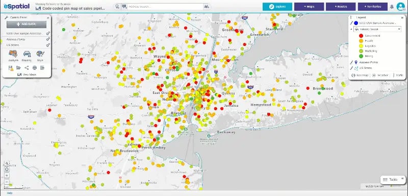
Site Analysis and Selection
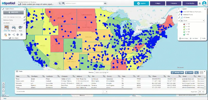
Mapping software is not just a tool for detailed site analysis and selection, it's a platform that fosters connection and collaboration. The ability to overlay maps with multiple datasets helps you visualize your ideal locations and make informed decisions about a site's suitability for construction projects. Sharing this information is a breeze, promoting a collaborative environment.


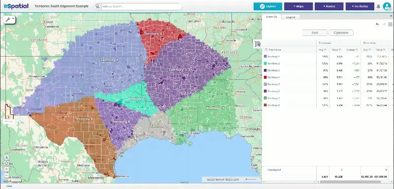
Stakeholder Communication With Interactive Maps
Creating visual representations using construction project maps can facilitate effective communication with stakeholders, including clients, investors, regulatory authorities, and community members. Their input affects every phase of a project, from budgets and timelines to safety and approvals. With eSpatial, you can present plans clearly, visually, and persuasively—boosting understanding and engagement at every stage.
- Staff
- Customers
- Key assets
- Construction sites
- Supply centers

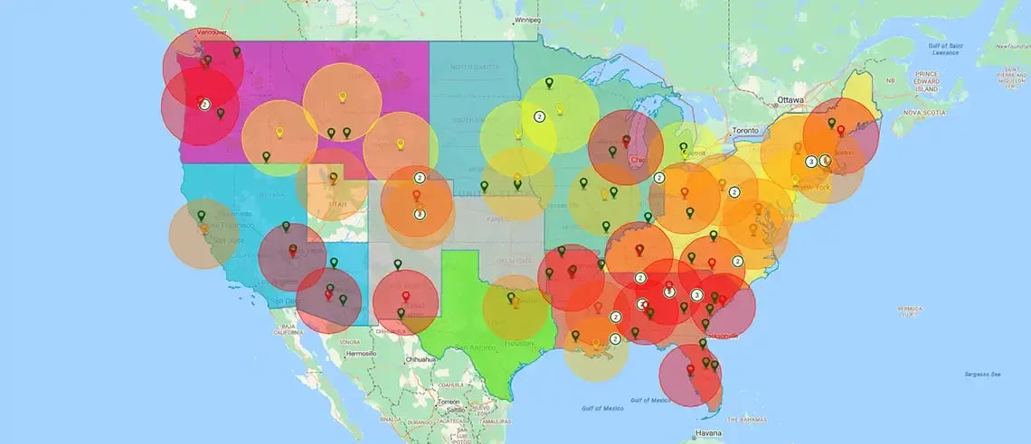
Equipment and Machinery Rental Analysis
Equipment rental firms use construction mapping software to map your existing and upcoming building projects (using Dodge or your data). It makes demand and sales planning a cinch. Planning sales campaigns with maps to match future demand campaigns generates more rentals.

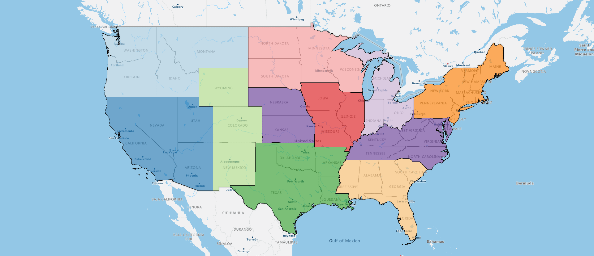
Resource Optimization
Construction companies can optimize their resources, including materials, equipment, and workforce, with the help of construction mapping software. They can use spatial data analysis to identify the most cost-effective routes for transporting materials, plan logistics efficiently, and minimize waste. This not only saves time but also reduces stress in resource management.

Efficient Planning and Design
Visualize your entire asset base to plan logistics and transportation. Construction mapping allows you to accurately assess site feasibility, surrounding infrastructure, and access to labor markets. This high-level insight and intricate detail supports smarter early-stage site design, minimizes costly delays, and ensures your project is grounded in real-world spatial data rather than theoretical assumptions.

Facilities Management
Construction mapping software is beneficial during the construction phase, facility management, and maintenance. Updating maps with as-built information, maintenance schedules, and asset inventories creates a comprehensive record for ongoing operations. It helps ensure facilities remain safe, functional, and compliant with regulations throughout their lifecycle.


