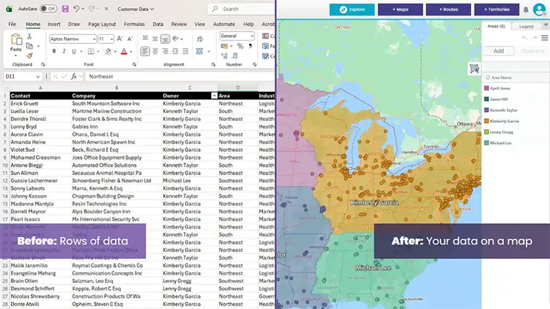
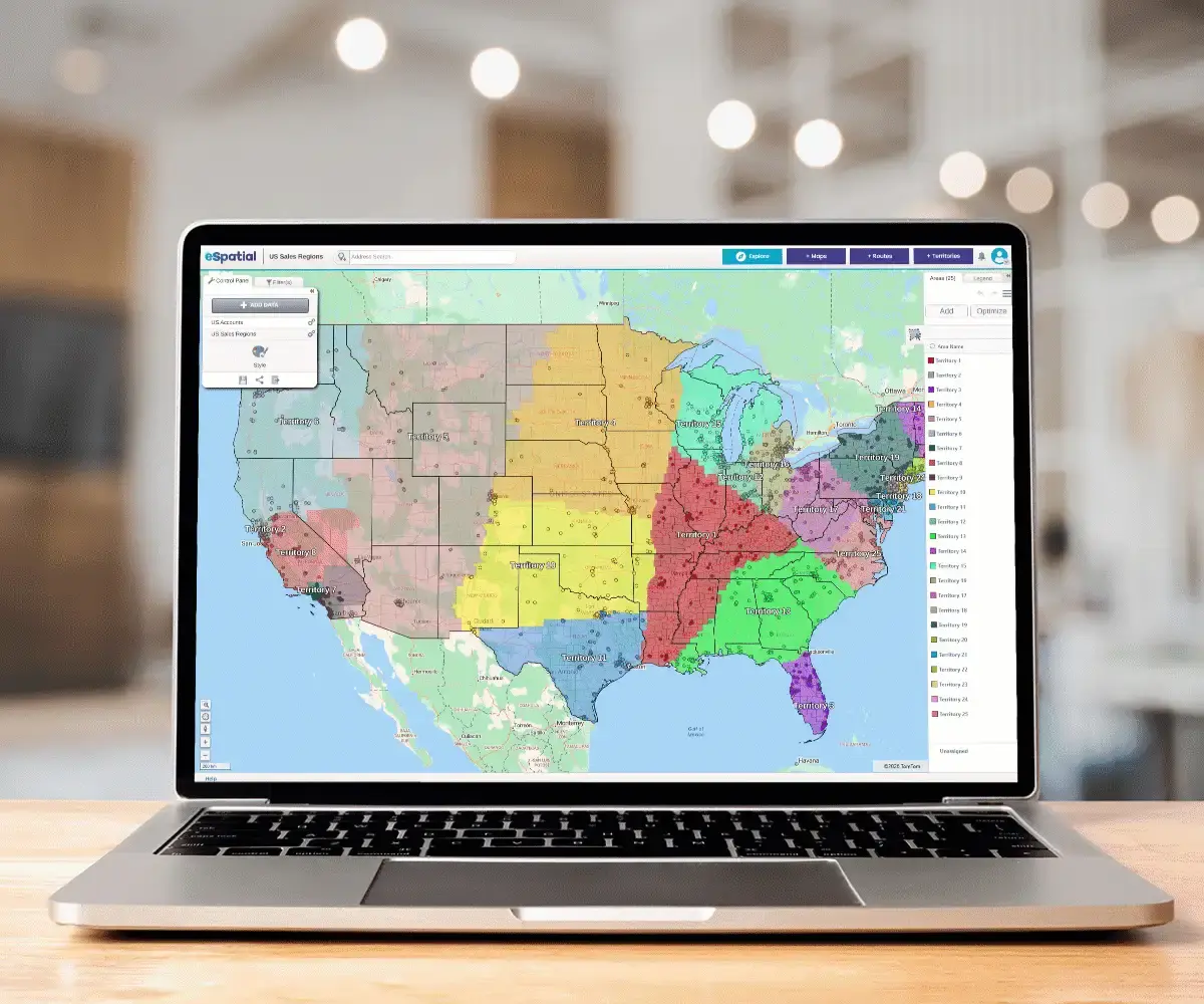
 Sales Territory Design
 Optimization & Balancing
 Growth & Realignment

Today, the most successful sales ops teams aren't just mapping data; they are making faster data-backed decisions. eSpatial is the only platform that connects the "what-if" design phase to the "real-world" execution loop.
|
Performance Metric |
Manual Excel Spreadsheet Status Quo |
eSpatial Territory Decision-Engine |
|---|---|---|
|
Design Velocity |
2 to 4 weeks |
Under 4 hours (32x faster) |
|
Mapping Iterations |
50+ manual revisions |
3 collaborative revisions (94% faster) |
|
Workload Equity |
Highly unbalanced; high rep friction |
Dynamically balanced based on capacity |
|
Field Travel Efficiency |
High drive-time and territory overlap |
20% reduction in drive-time and zero overlapping patches |
|
Organizational Scale |
Limited to small regional patches |
Global scaling with 6 hierarchies and 1,000+ complex sales territories |