|
The Operational Guesswork |
The eSpatial Advantage |
|---|---|
|
Reactive Location Planning: Relying on gut feelings or outdated demographics to decide where to open your next distribution center or regional office. |
Data-Backed Site Selection: Visual proof of where customer demand and workforce density perfectly intersect. |
|
Mathematical Complexity: Spending hours running complex Excel formulas to find the "nearest neighbor" for supply chain coverage. |
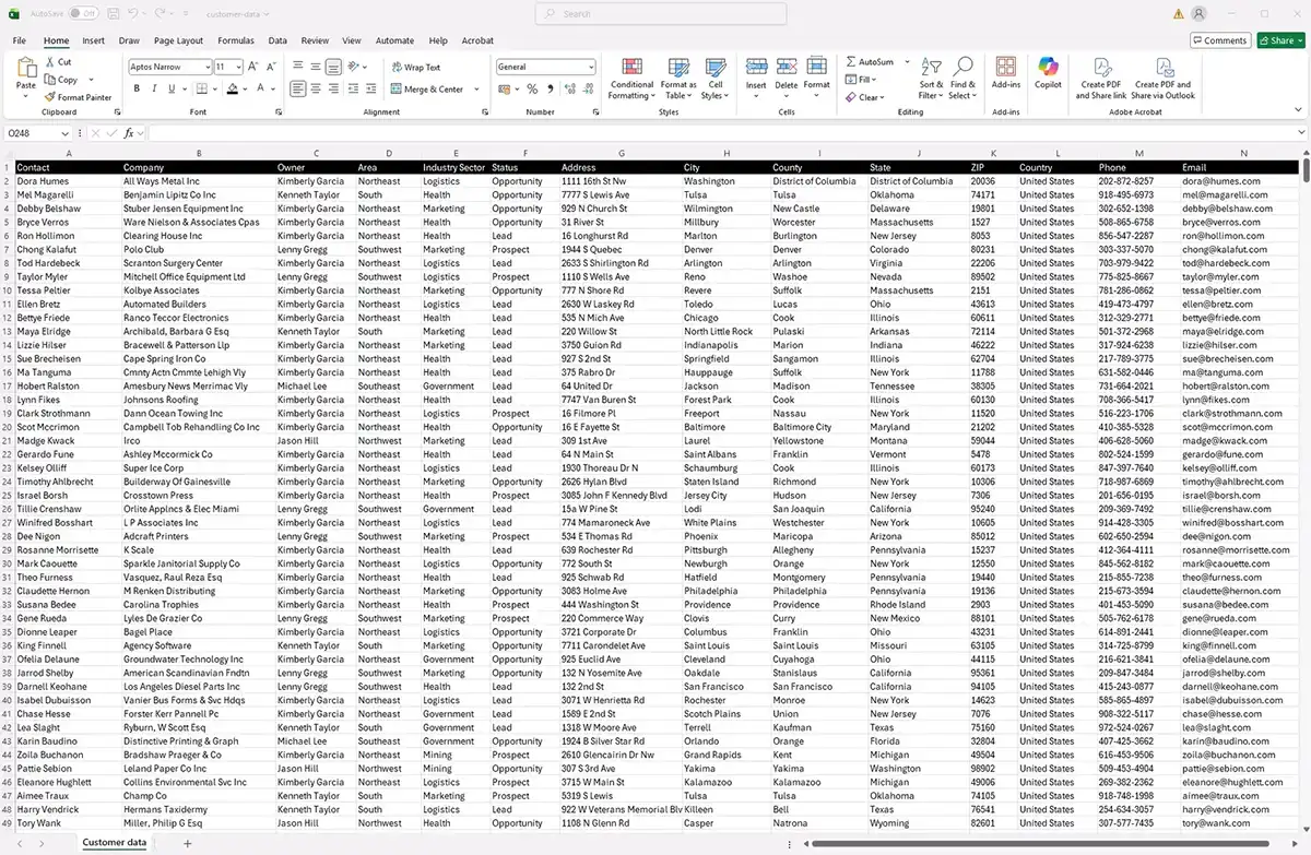
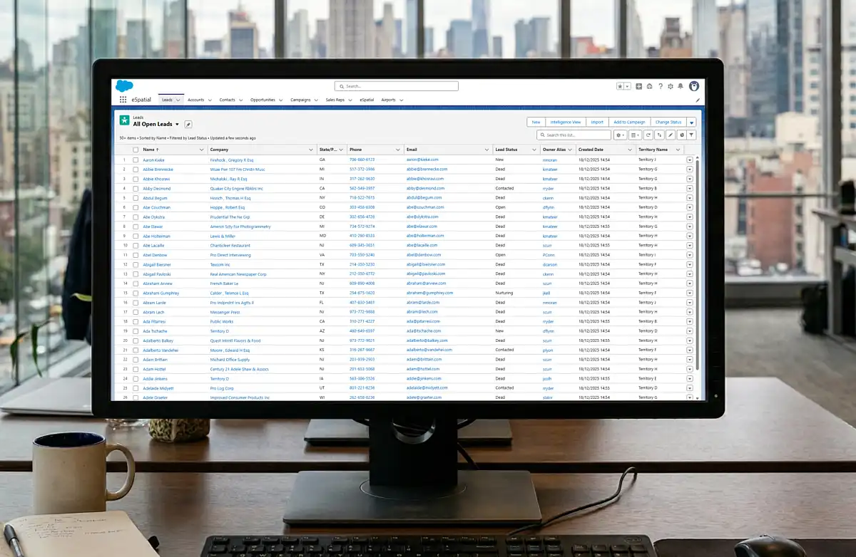
Automated Insights: Sync your CRM data to generate business-focused thematic maps and spatial trend analysis in seconds, no coding required. |
|
Data Security Fears: Uploading sensitive HR data or customer addresses to unverified, unsecure free consumer mapping websites. |
Enterprise Trust: Secure business location mapping software with SSO, Salesforce integration, and permissions built for IT leaders. |
Precision Planning: Optimize
Your Workforce & Assets

1. Secure Workforce & Talent Mapping
As organizations navigate hybrid teams and real estate consolidation, proactive location planning is more critical than ever. HR and Talent leaders use eSpatial to:
- Securely map employee addresses against existing corporate real estate
- Pinpoint talent hotspots and identify geographic skill gaps
Make objective decisions about where to open new micro-hubs or close underutilized offices based on actual employee commute distances.

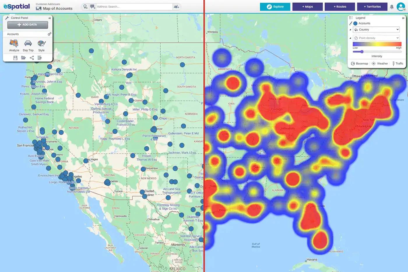
2. Proximity & Nearest Neighbor Analysis
Forget complex mathematical formulas and academic GIS jargon. In business, nearest neighbor analysis simply means operational efficiency and risk mitigation. Operations managers need to know:
- Which field technician is closest to a critical outage?
- Which warehouse is best positioned to fulfill an emergency order?
eSpatial's proximity analysis automatically calculates and visualizes the exact physical distance between your assets, employees, and customers. It takes the guesswork out of field routing, reduces operational risk, and ensures you consistently hit your Service Level Agreements (SLAs).

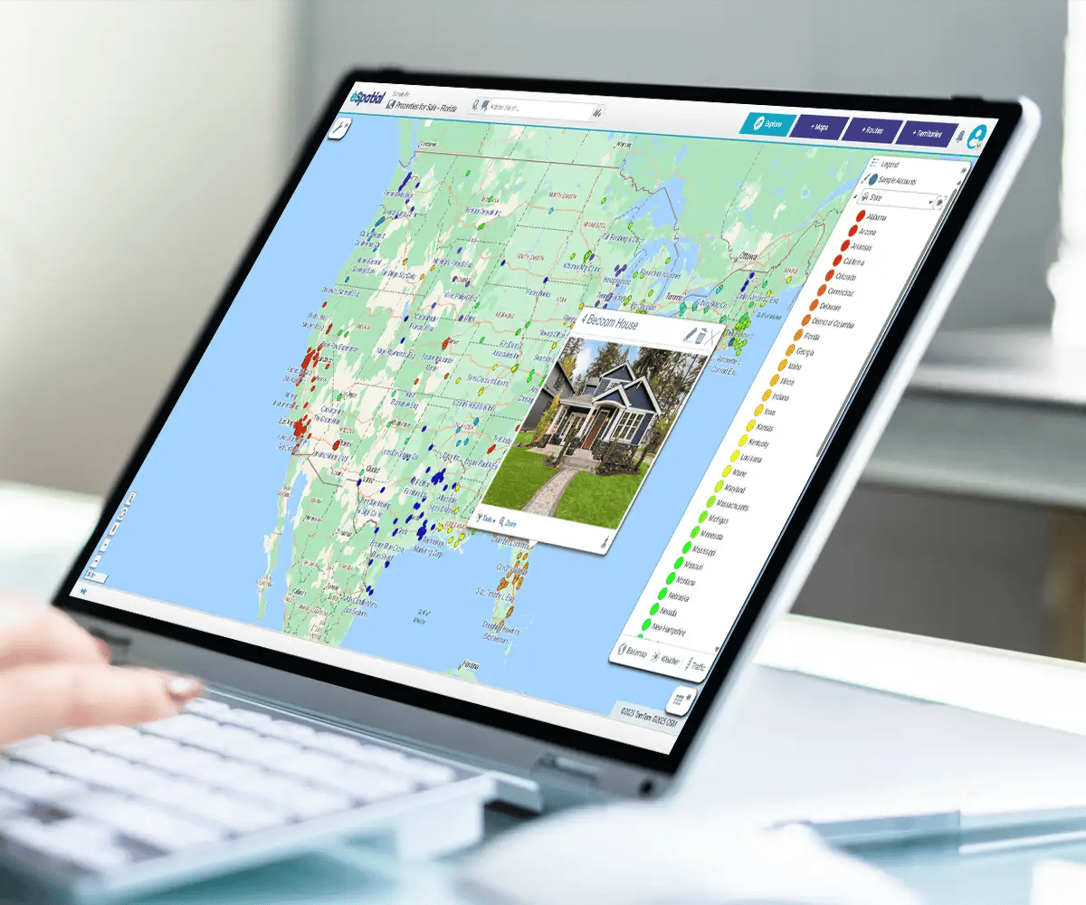
3. Strategic Event & Site Selection Analysis
Where should your next flagship event be hosted? Where should the new multi-million dollar warehouse go?
Replacing gut instinct with true location analytics ensures ROI. By visualizing your highest concentration of target customers on a map, our location analysis tools allow you to:
- Define custom radius zones (e.g., "50 miles from the venue")
- Position your asset or marketing event exactly where business demand is highest
- Execute flawless site selection analysis
Industry Spotlight: Optimizing
Sites & Workforce Strategy

Stop guessing where your next clinic belongs. Most healthcare leaders rely on spreadsheets that hide the truth about patient access . eSpatial turns that data into a clear story, allowing you to validate that 70% of employees are within a 10-mile radius of your care.
Whether you are identifying service gaps or presenting a winning Request for Proposal (RFP), we give you the visual proof needed to expand with confidence and close more business.

No more board presentations with spreadsheets. Start sparking real strategy. Community banks use eSpatial to transform dense financial data into visual insights that actually drive profitability.
By layering branch locations with demographic and customer analytics, leaders have created strategic maps to identify new branch opportunities and areas for consolidation.
It is time to ditch "dated" mapping for a fresh, professional output that wows executive management and turns numbers into actionable growth.

Optimize your workforce while the competition is still calculating. Managing 1,000+ sales reps across the country is a logistical nightmare without a visual guide. eSpatial helps staffing leaders strategically place talent and identify new office locations based on real market demand.
By optimizing your office assignments and reducing travel time, you stop wasting fuel and start driving the operational efficiency that leads to increased revenue.

Quit leaving money on the table at the job site. Your equipment is only valuable when it is in the right place at the right time. Our customers use eSpatial to bridge the gap between "gut feeling" and actual construction data, identifying $100,000’s in potential shipping savings by finding the most cost-effective plants.
Use these maps to challenge dealer perceptions, find gaps in your national coverage, and proactively target upcoming projects before the competition even knows they exist.
Move 32x faster than the market. Speed is the only currency that matters when a franchise opportunity arises. While your competitors spend six days manually mapping boundaries, eSpatial users get territory definitions agreed upon in 90 minutes.
By providing a single source of truth for franchise boundaries, you can eliminate disputes and double the number of client visits your team makes every week.

Build a service network that actually follows your fleet. In the automotive world, "close enough" is not good enough for your customers. Leaders use eSpatial to visualize every garage and driver location, allowing them to shift from expensive Original Equipment Manufacturer (OEM) repairs to high-quality local independents.
By seeing the "hidden map" of your network, you can increase local network usage to 70% and cut route planning time from 10 minutes to mere seconds.
Mapping Software Solutions
-
 Reporting & Visualization
Tell a data story the boardroom understands. Generate presentation-ready, color-coded, and radius maps from your data instantly.
-
 Market Analysis & Trends
Find your white space. Use heat maps and spatial analysis to spot regional gaps, untapped potential, and de-risk expansion.
-
 Sales Productivity
Give reps back 5 hours a week. Natively map your CRM data to visually cluster high-value accounts and analyze your sales pipeline.