How Does a Postal Code Map Help?
Comparison Analysis
Postal code maps are fantastic for comparing data based on the population demographics or other characteristics of the area. For example, you can visualize the concentration of men aged 35-50 within a given postcode, or look up the volume of sales within that same location. This is an ideal tool for your sales team to have at your disposal. You can determine exactly where your most promising leads and most lucrative customers are located, be they in major cities or more provincial areas.
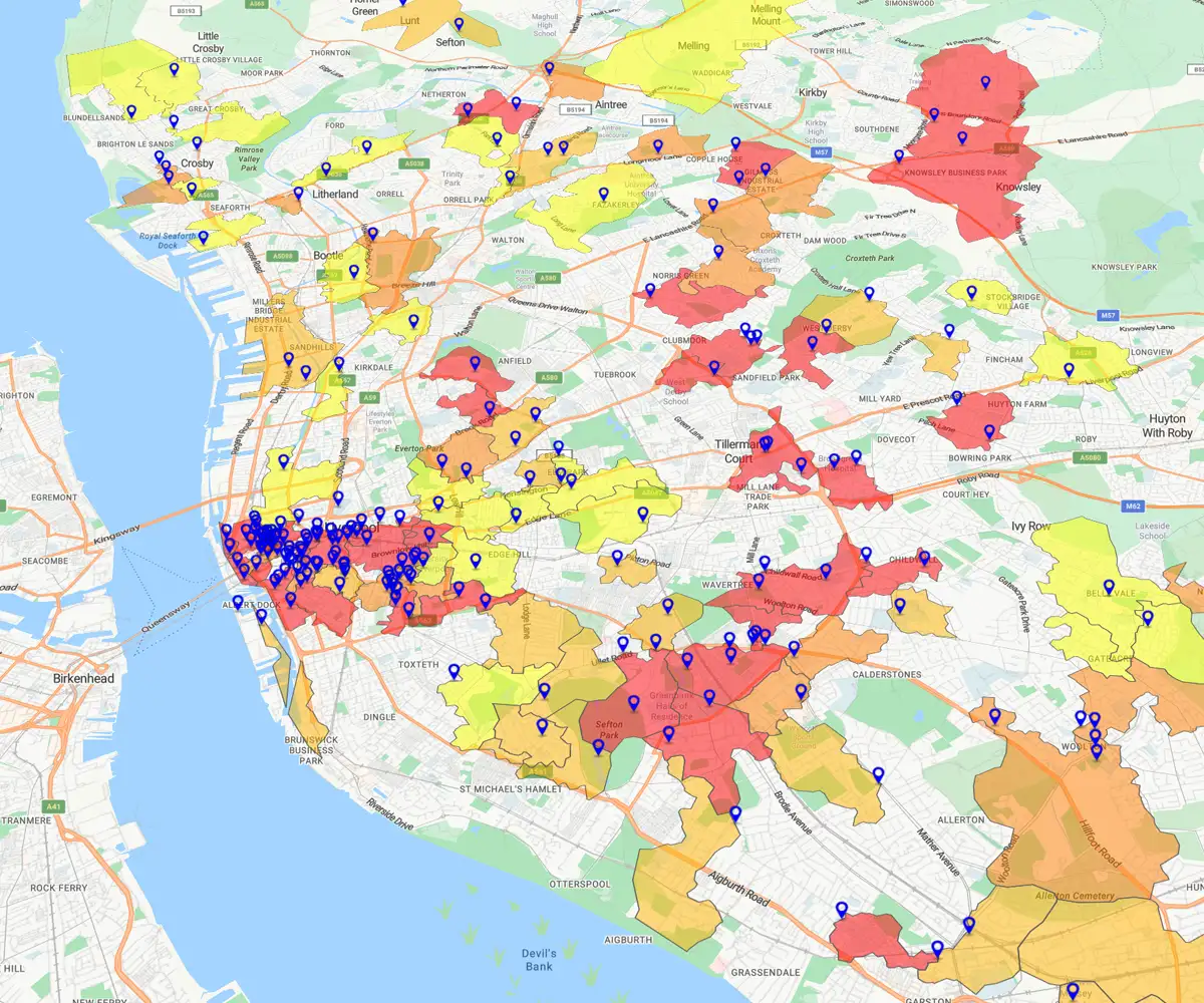
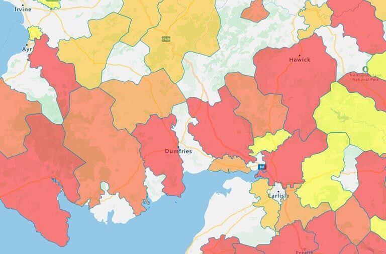
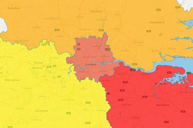
The best way to conduct comparison analysis by postcode is with a regional heat map. Region-based heat maps represent data by coloring each area you wish to examine in a different shade. For example, the map pictured on your right shows total sales in each postal code. Turning this data into a regional heat map allows you to instantly see the suburban or urban areas that bring in the greatest revenues. Conversely, you will also be able to readily identify any postal code area that could use more marketing or sales development.
Territory Mapping
Territory mapping is useful when determining which sales rep will cover a certain geographic area. Just like its United States counterpart, the ZIP code, a postal code is among the smallest regions you can individually examine. This will make creating manageable territories for each sales rep easier.
If you map your leads within each postal code, you can focus on territory optimization based on that value, giving each sales team member a fair opportunity to be successful.
Get Started With eSpatial Today
Our team is here to help you every step of the way

No credit card required
How to Add Postcodes to Your Map
Step 1
Sign up for a Free Trial
eSpatial allows you to sign up for a free trial. This will give you access to all of our professional features so you can start creating dynamic maps right away. (All you need for the trial is to enter your business email and create a password; no payment information is required to begin.)
Once you've signed up, log in to eSpatial.
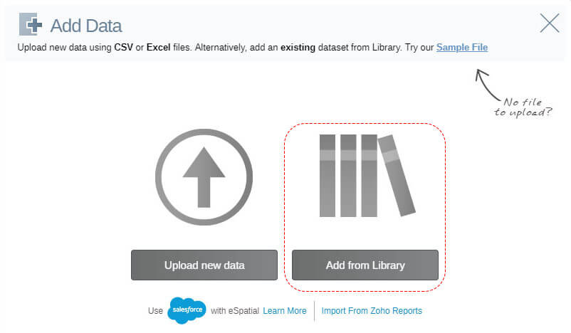
Step 2
Enter the eSpatial Data Library
Click on Add from Library, and then make sure you're currently in the eSpatial Datastore tab.
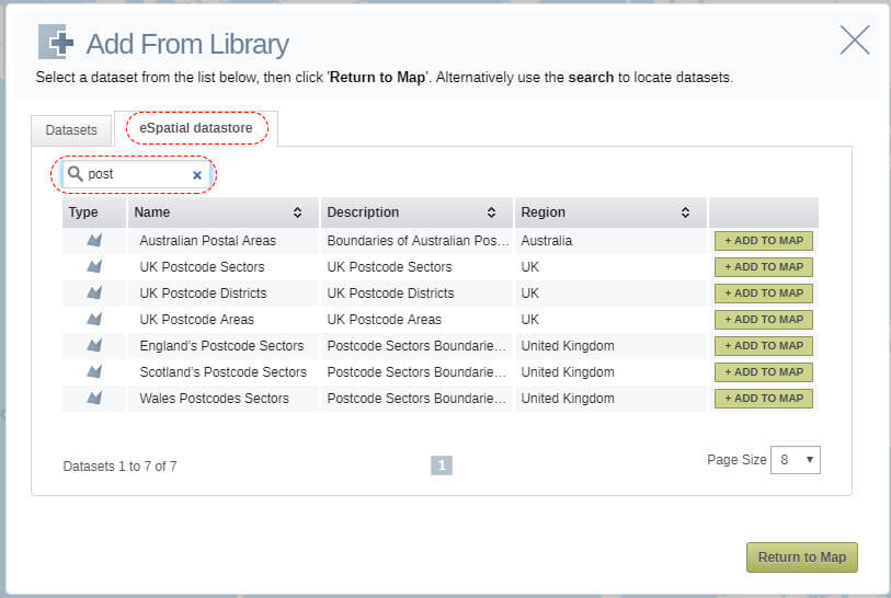
Step 3
Choose Your Dataset
Searching for "post" will bring up a variety of postal code data sets for Australia and the UK, including British postal areas, districts and sectors. A postcode area is the largest type of postal code boundary in the UK. Each one of them is then divided into multiple districts, which, in turn, are divided into sectors. Choose UK Postcode Sectors if you'd like to use the smallest available boundaries
If you're looking for Canadian postal regions, search "FSA."
Step 4
Add Your Own Data
If you'd like to add your own data to the map, you should first ensure your file is in the correct format. eSpatial is compatible with the CSV, XLS and XLSX file types.
Once you've done that, click the Add Data button in the Control Panel on the left side of your screen. This will open a new menu screen. Click Upload new data, then select the file you'd like to upload from your device. Afterward, your map will appear, featuring all of the information from your sales data set.
