Welcome to eSpatial. The complete mapping, routing, and territories solution for sales, marketing, and operations teams.
With eSpatial, it is easy to visualize data with vibrant maps, and optimize your territories and routes.
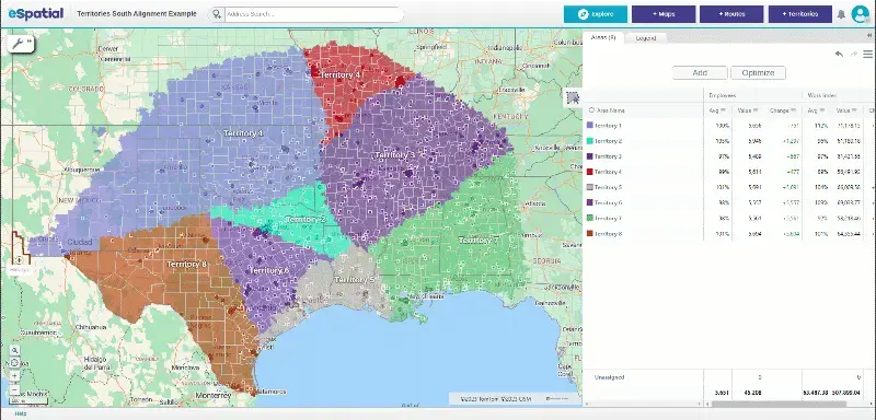
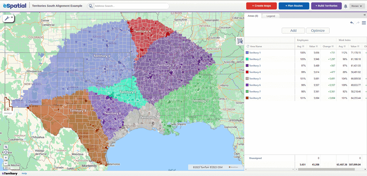
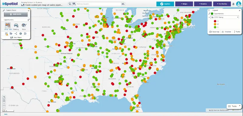
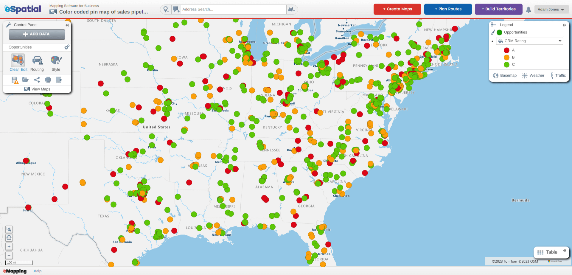
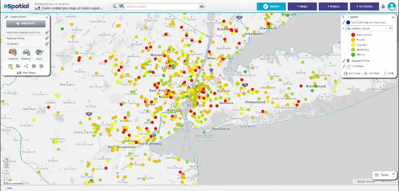
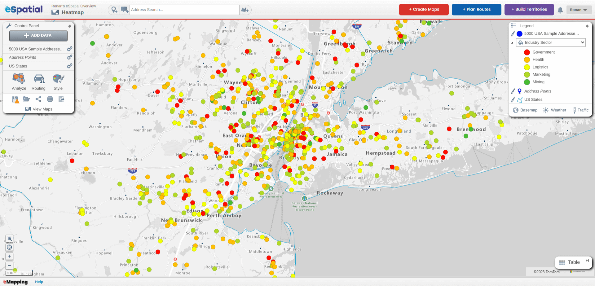
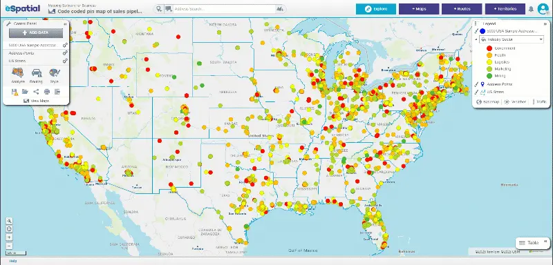
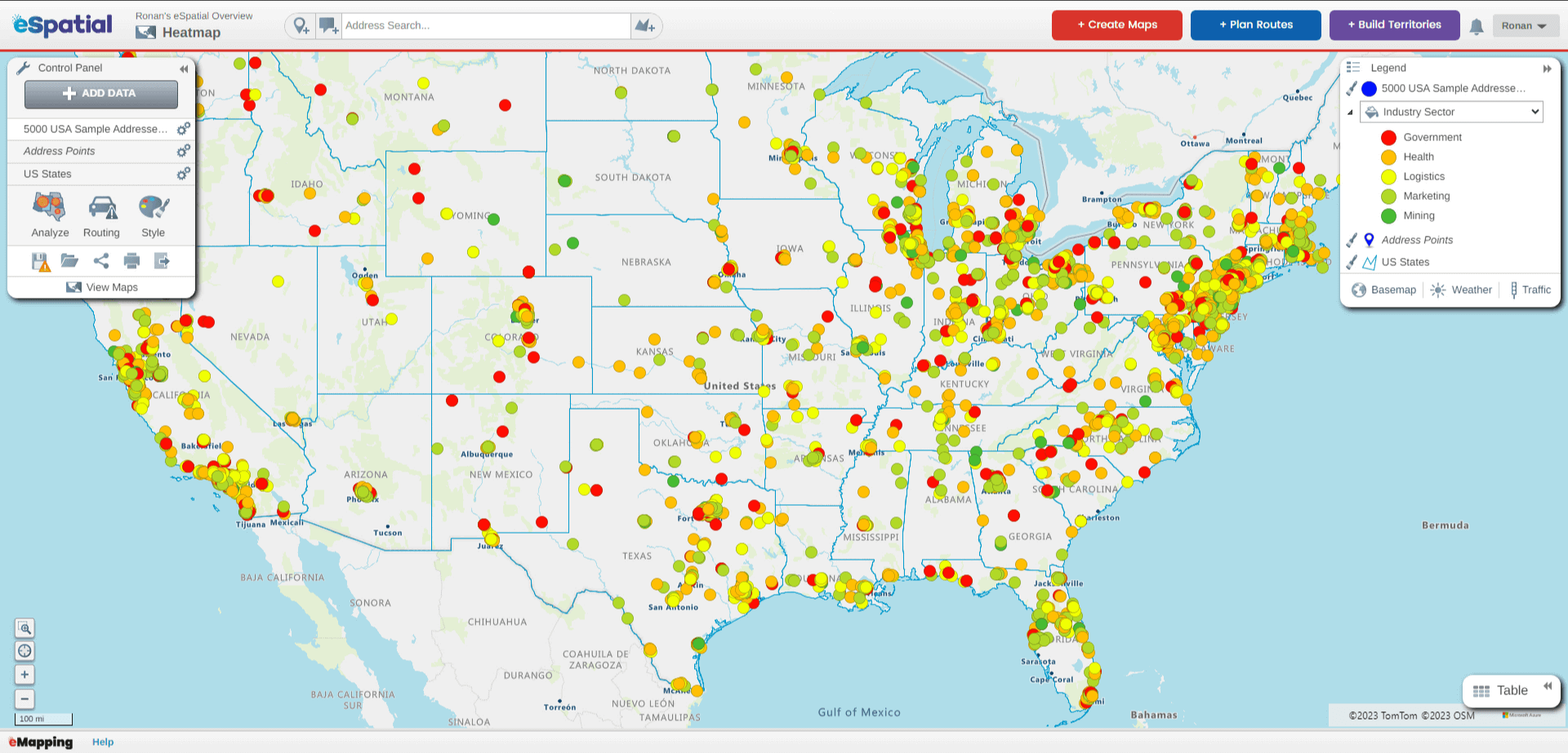
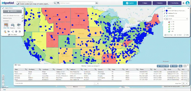
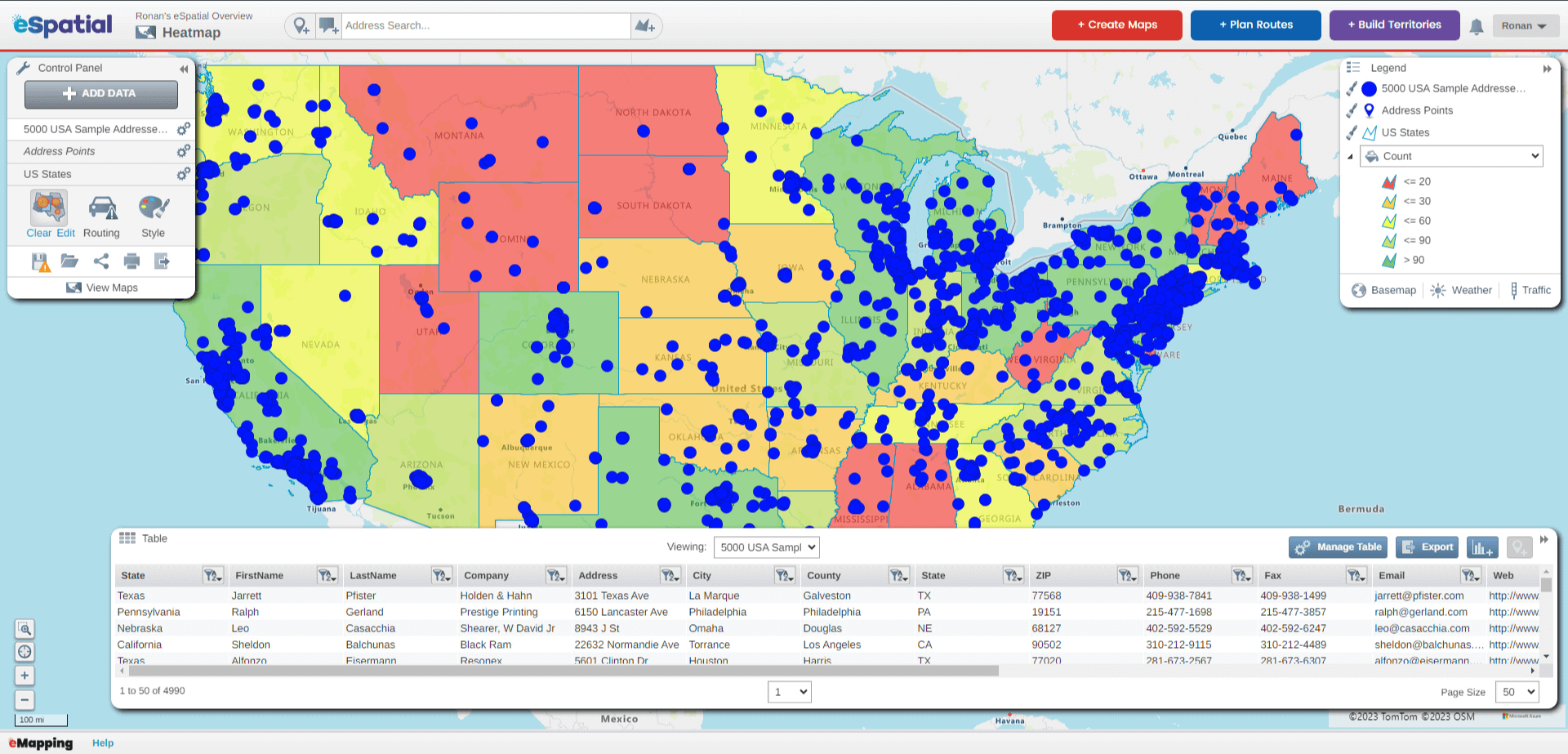
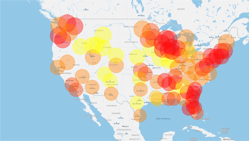
Here's how it works. Simply upload your data and powerful algorithms automatically generate the perfect map for you.
Easily style and filter your data for faster, data backed, decision making. Draw, merge, or realign territories to balance workloads and maximize efficiency.
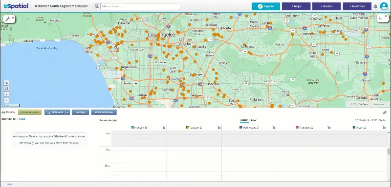
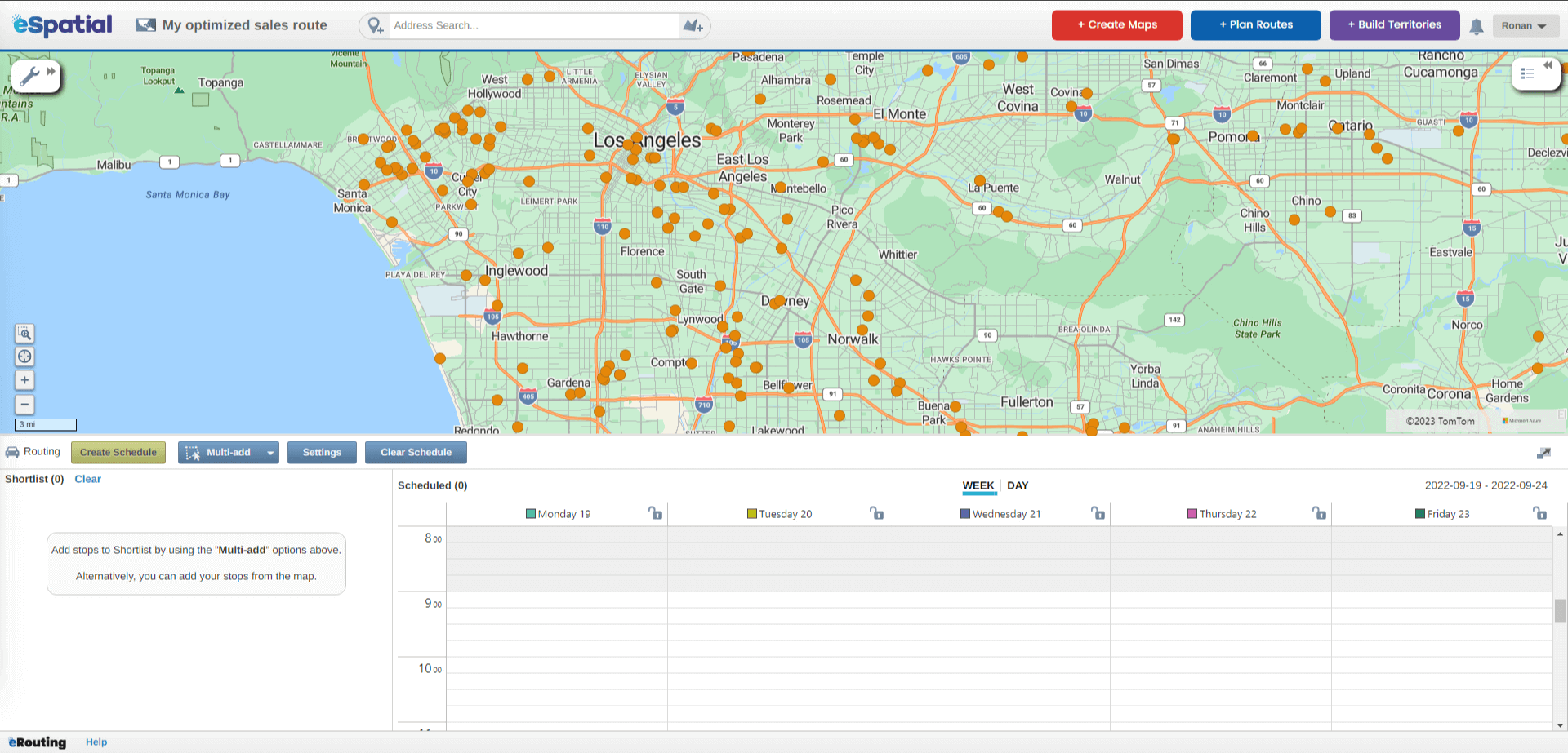
And stay on schedule by allowing field teams to re-optimize their routes when meetings run late or get cancelled.
For simple, powerful all-in-one mapping, choose eSpatial. Try it for free today.