Spreadsheets bury insights. You need to see market trends instantly to make decisions for your retail store, agency, or franchise.
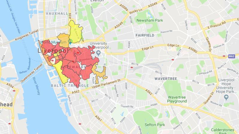
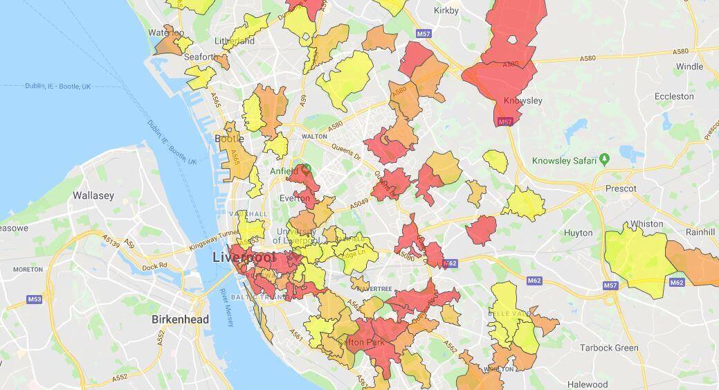
Postcode heat maps use colour to reveal intensity:
- Spot hotspots: See high-volume sales areas immediately.
- Track density: Visualize customer clusters by postcode.
eSpatial turns complex data into clear, interactive maps. Fast.
Creating a Heat Map With Postal Codes
Sifting through databases to build charts in Excel wastes hours. You need to visualise high-performing regions instantly to target your sales approach.
eSpatial's mapping software enables effortless heat map generation.
- Zoom in: Target specific postcode areas
- Spot density: Locate customer pockets and revenue hotspots immediately
The Mapping Process
-
1. Upload customer and sales info from any source
-
2. Define the boundaries of your map
-
3. Analyze the region for density
-
4. Generate and view your heat map to customise colours and highlight insights
Why Use Postcode Mapping Software?
Retailers, real estate agents, and franchisers need granular data. Countries and states are too broad; postcodes reveal what's actually happening on the ground.
4 ways to use them
-
Spot clusters
Identify exactly where your customers and reps are located
-
Optimise logistics
Match regional volume to distribution resources
-
Find gaps
Detect neighborhood-level trends to fix issues fast
-
Target growth
Visualise the perfect spots for expansion or direct mail
The impact
Postcode maps turn regional data into actionable local insights.
Postcode Heat Maps in Action
See it in action
Step 1
The Scenario
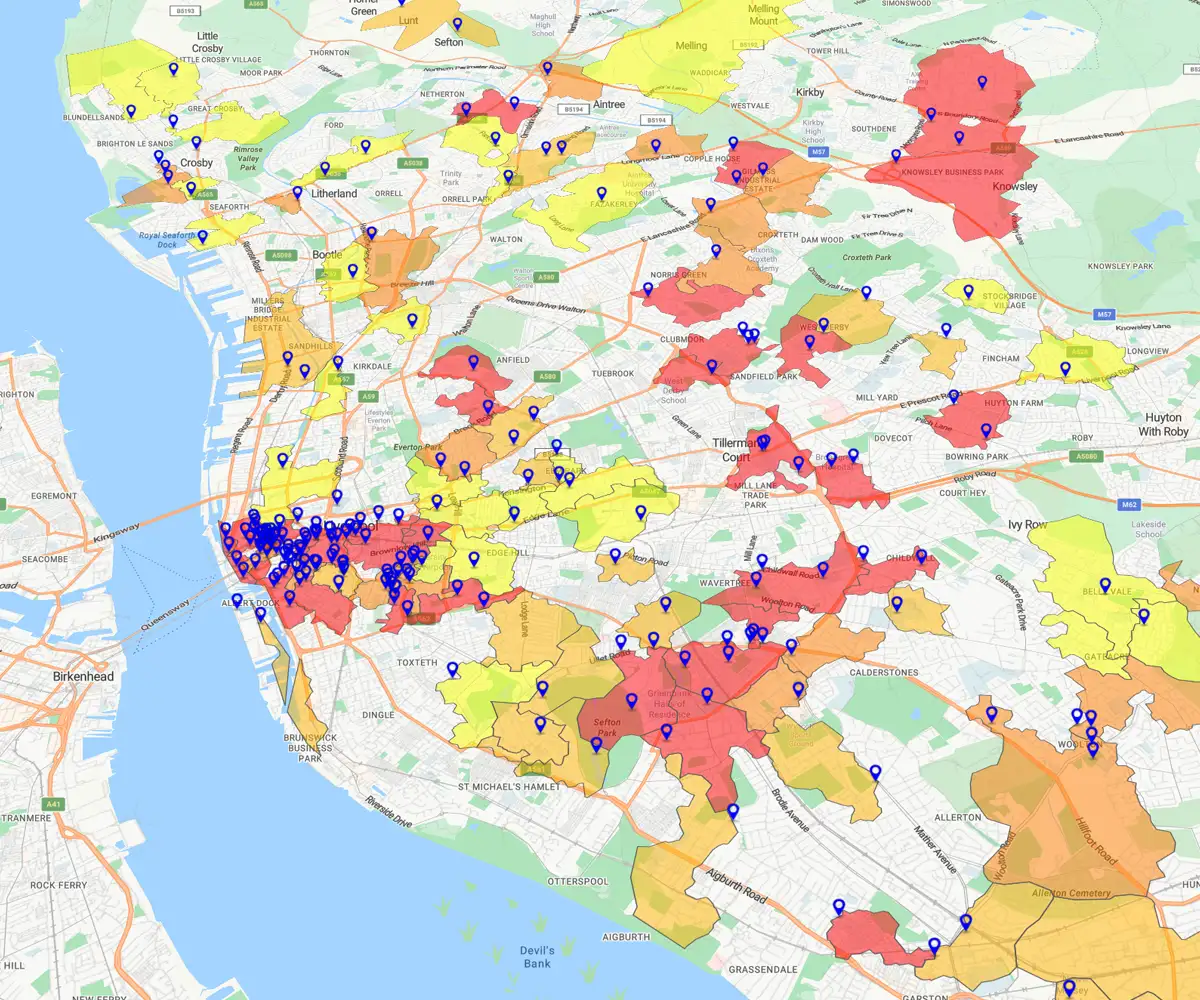
A coffee supplier uses eSpatial to uncover new business opportunities outside Liverpool City.
Step 2
The Playbook
-
Map current clients: Visualize existing accounts to spot coverage gaps

- Find prospects: Use Business Search to locate competitor cafes in surrounding areas
- Heat map density: Identify high-volume clusters of potential new clients
-
Export the list: Filter the hottest postcodes and hand a precision target list to Sales.

Step 3
The Result
Your team stops guessing and starts selling in the highest-value areas.
Frequently Asked Questions
How is a Heat Map Faster Than Excel?
It transforms data instantly. Wrestling with spreadsheets hides insights; heat maps reveal them.
- Save time: Create maps 95% faster than manual colour-coding.
- See clearly: Turn raw rows into visual patterns in minutes.
- Spot value: Identify customer clusters and underserved areas immediately.
How Do I Target Direct Mail Effectively?
Target high-value postcodes. Stop guessing with thousands of addresses.
- Visualise: Upload data to spot customer "hotspots" instantly
- Prioritise: Identify high-concentration areas of ideal customers
- Cut waste: Direct your budget only to areas with high return potential
Q: How Do I Create Balanced Territories?
Map account density. Visualise distribution to stop guessing.
- See clearly: Plot accounts to spot imbalances instantly
- Balance work: Draw boundaries based on actual value, not gut feel
- Drive revenue: Create fair territories to hit quotas and stop burnout
How Do I Spot Market Gaps?
Expose the "white space". Spreadsheets hide empty zones; maps highlight them.
- Compare: See high-performing territories right next to zero-customer zones
- Prove: Show undeniable visual evidence of missed growth
- Focus: Direct expansion efforts where opportunity is obvious
Can I Combine Multiple Data Sources?
Yes, unify them instantly. Stop toggling between CRMs and spreadsheets.
- Connect: Sync directly with Salesforce or upload Excel files
- Layer: Stack disparate datasets to reveal the full picture
- Simplify: Create one single, comprehensive view of performance
Is eSpatial Better Than My Bi Tool?
Yes, because it drives action. BI dashboards are for viewing; eSpatial is for doing.
- Drill down: Analyse market penetration by specific postcode
- Take control: Edit sales boundaries instantly (BI maps are usually static)
- Find growth: Identify white space that basic dashboards miss
Is It Hard to Learn?
No, start in 5 minutes. You don’t need to be a data scientist to map data.
- Map fast: Go from spreadsheet to heat map in under 5 minutes
- No code: Built for business users with zero technical training required
- Get help: World-class support experts are ready to guide you
How Do I Demonstrate the Roi?
Show the financial impact. It's not just a map; it's a profit driver.
- Boost revenue: Identify underserved markets to increase sales by up to 7%
- Cut waste: Stop spending marketing budget on low-return postcodes
- Lower costs: Reduce acquisition costs by focusing reps on high-potential zones

