
eSpatial is designed to be a powerful yet easy to use mapping software with a comprehensive set of features that enables you to visualize, analyze and share your business data. It allows you to dig deeper into your sales data to identify trends and patterns that help drive decisions for business growth.
Product features and tools
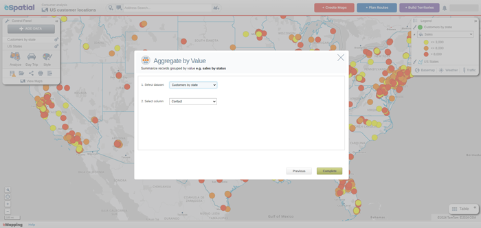
Aggregate by value tool
A robust feature that uniquely empowers you to merge and scrutinize spatial data based on specific attributes or criteria.
View feature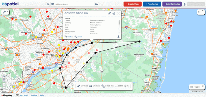
Distance measurement tool
The easy way to measure the distance between two or more points.
View feature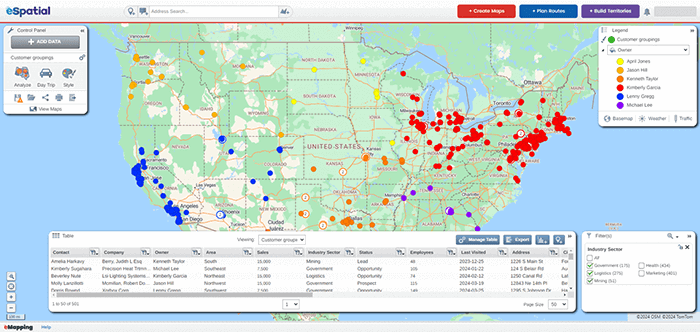
Filter table
The filter table is the go-to function when you want to refine your analysis to hone in on areas of interest in your data.
View feature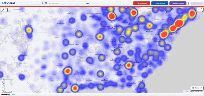
Heat mapping tool
Perfect for operations, sales, marketing, and data analysts who want to spot and analyze trends in their data.
View feature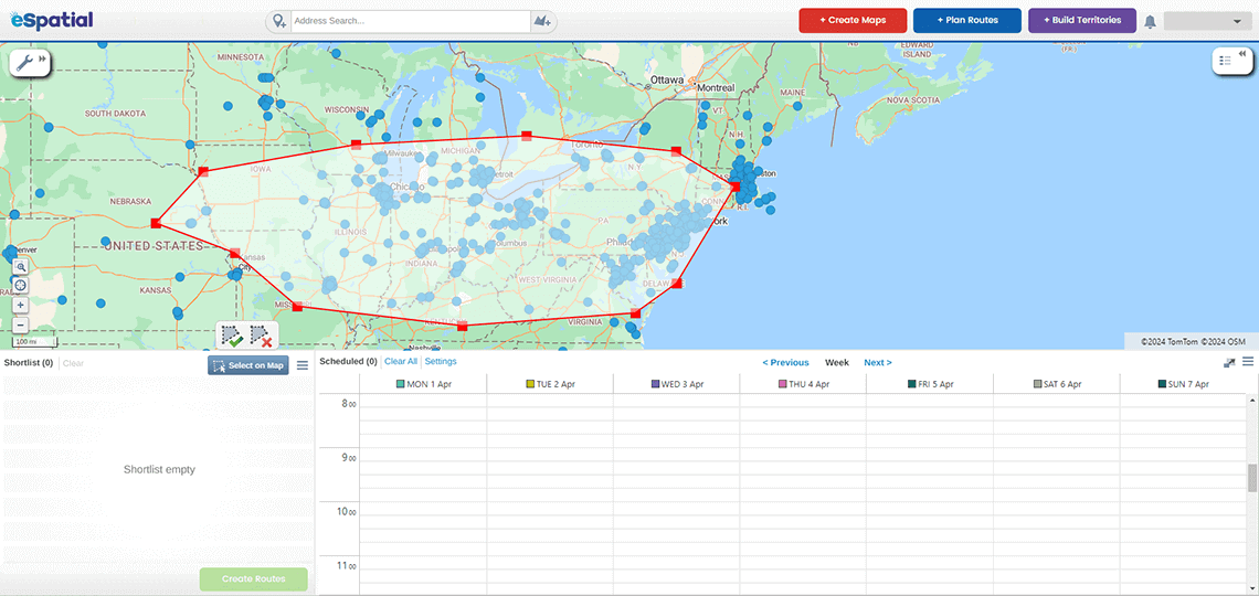
Proximity analysis tool
Used by sales, operations, and marketing to create visual buffers, calculate distance, or find the nearest neighbor to a location.
View feature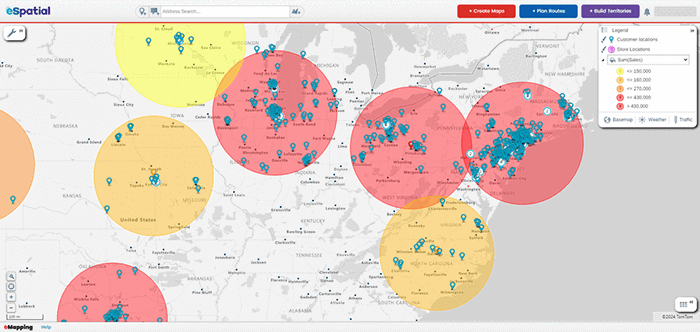
Radius analysis tool
Streamline your business decisions with geospatial analysis, market research, and route planning using the radius analysis tool.
View feature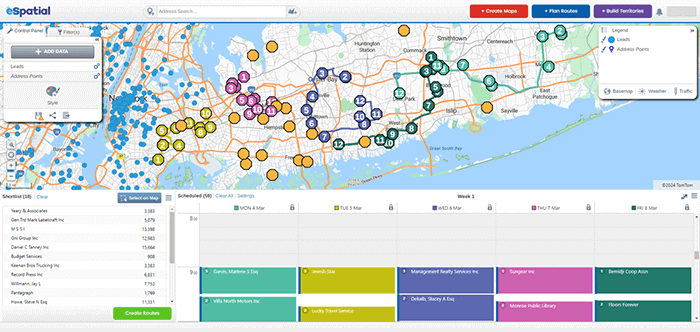
Route planning tool
Optimize daily routes and plan schedules for your next 30 days at lightning speeds.
View feature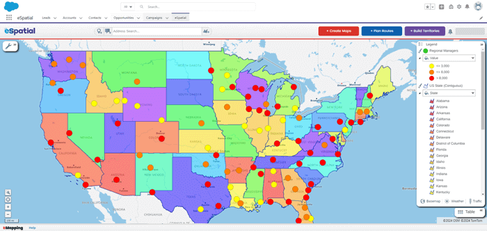
Salesforce integration
We offer rapid visual insight that eliminates the need for guesswork in decision-making, all within your Salesforce environment.
View feature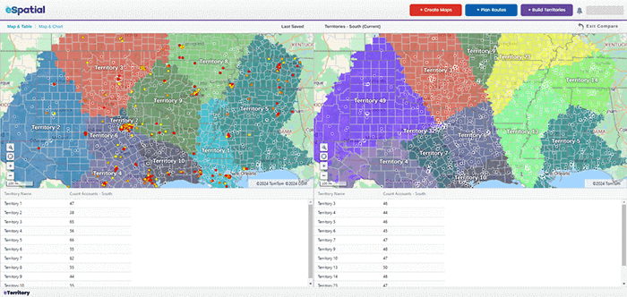
Scenario planning tool
Create a what-if analysis that optimizes territories based on various factors and variables.
View feature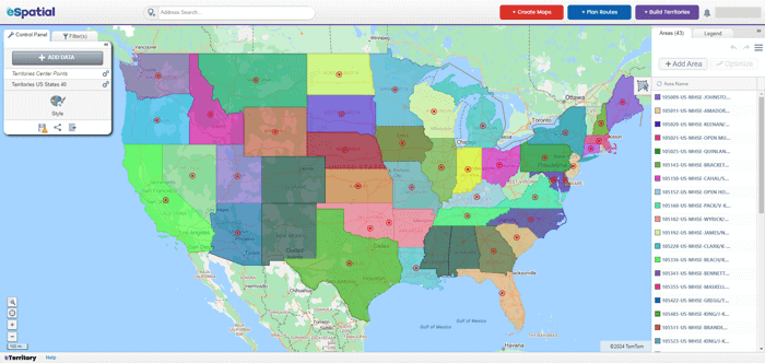
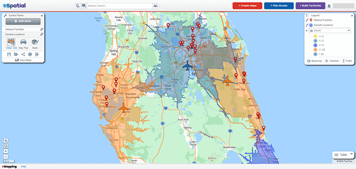
Territory center tool
Unlock the true potential of your sales territories. Whether hiring, realigning, merging, or consolidating, don't miss out on the power of weighted centers.
View feature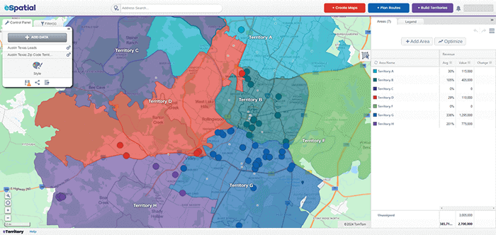
Territory optimization tool
Design balanced, equitable sales and service territories that maximize sales potential and time with customers and minimize travel time and costs.
View feature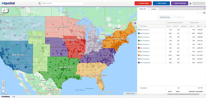
Work index tool
The work index tool adds a new layer of analysis when designing balanced, equitable sales and service territories.
View feature